Catalog Archive
Auction 138, Lot 579

"Plan of the City and Harbour of Marseille", Rollos, George

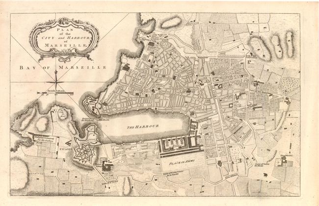
Subject: Marseille, France

Period: 1767 (circa)

Publication:

Color: Black & White

Size:
11.5 x 7.8 inches
29.2 x 19.8 cm
Download High Resolution Image
(or just click on image to launch the Zoom viewer)

This is a finely engraved plan of the city of Marseille. Many important locations are noted including the Citadel, Place of Arms, Fort St. Jean and St. Victor Abbey. Numerous gates surround the city that was a critical strategic asset of France and its largest commercial port on the Mediterranean. This plan was most likely included in Thomas Mortimer's "Atlas of Trade and Commerce," published in London in 1767.

References:

Condition: A

There is some minor creasing in the right blank margin, else fine.

Estimate: $150 - $200

Sold for: $100

Closed on 12/7/2011

Archived