Catalog Archive
Auction 138, Lot 574
"Carte Particulire du Terroir et des Environs des Paris qui est la Plus Grande Partie de l'Isle de France…", Visscher, Nicolas
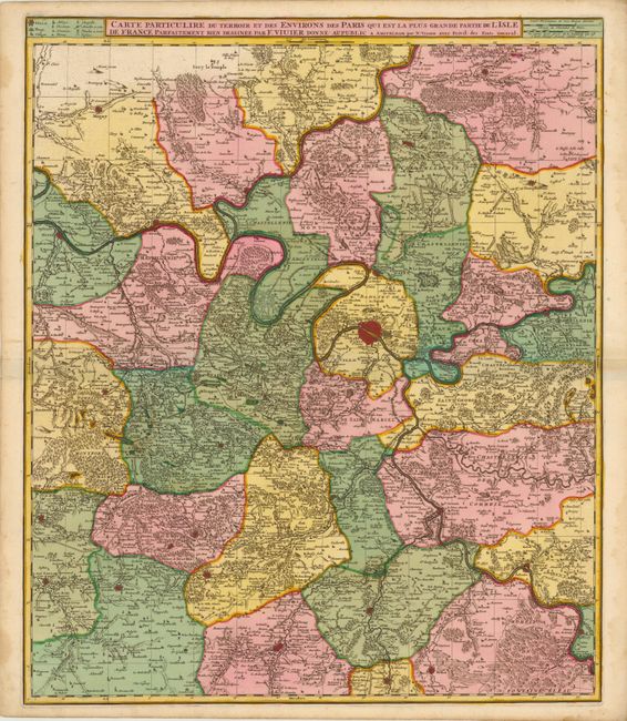
Subject: Ile-de-France, France
Period: 1680 (circa)
Publication:
Color: Hand Color
Size:
19.3 x 22.8 inches
49 x 57.9 cm
Download High Resolution Image
(or just click on image to launch the Zoom viewer)
(or just click on image to launch the Zoom viewer)