Catalog Archive
Auction 138, Lot 568

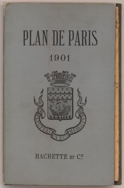
"Plan de Paris [and on verso] Paris Transports", Hachette, Louis Christophe Francois

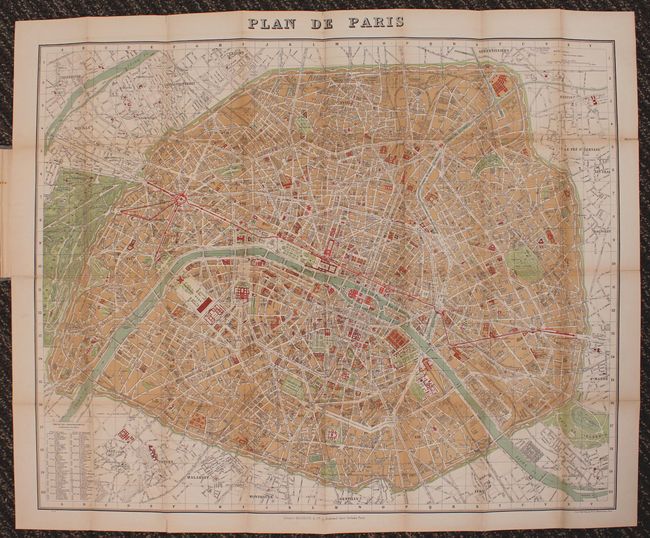
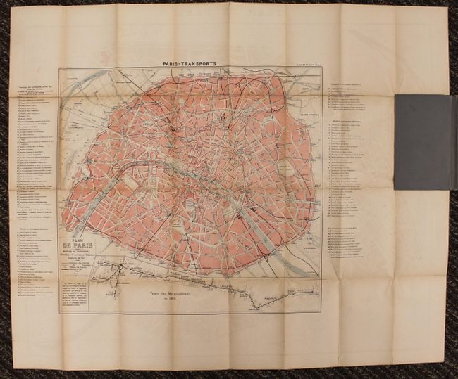
Subject: Paris, France

Period: 1901 (dated)

Publication:

Color: Printed Color

Size:
30.5 x 26 inches
77.5 x 66 cm
Download High Resolution Image
(or just click on image to launch the Zoom viewer)

This is a finely detailed folding map of Paris with maps on both sides of the sheet. The recto shows all streets and boulevards as well as monuments and places of interest, including the Louvre and Notre Dame. A key at lower left identifies various places in each of the Arrondissements. On verso is a slightly smaller map that details the transportation network. The map folds into gray cloth covers and contains a 62 pp. street directory, "Liste alphabetique de Rues de Paris."

References:

Condition: B+

There are fold separations in the image that have been partially repaired with archival tape.

Estimate: $150 - $200

Sold for: $110

Closed on 12/7/2011

Archived