Catalog Archive
Auction 138, Lot 513

"A New Map of Ireland Divided into Provinces, Counties &c.", Kitchin, Thomas
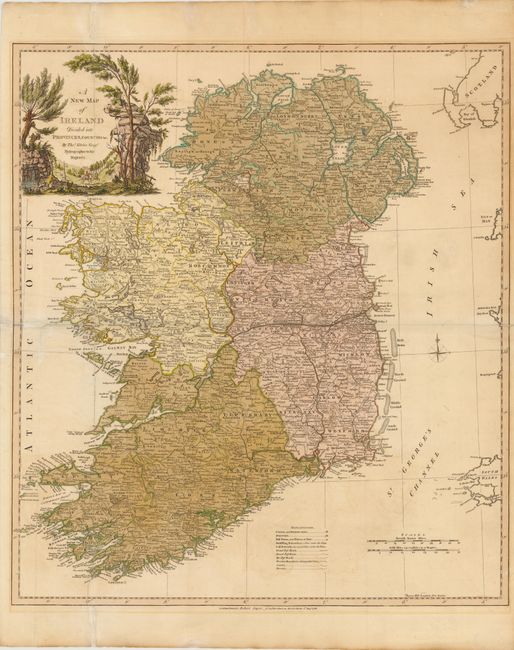
Subject: Ireland

Period: 1786 (dated)

Publication:

Color: Hand Color

Size:
22.3 x 25 inches
56.6 x 63.5 cm
Download High Resolution Image
(or just click on image to launch the Zoom viewer)

A large and densely engraved map published by Robert Sayer. A legend at bottom identifies roads, towns, villages, and counties. The map is adorned with a compass rose and a large pastoral-themed cartouche with horses and riders.

References:

Condition: B

Several minor repairs along fold separations. One tiny hole with minute loss of image near Drogheda has been repaired on verso. Color is a little oxidized.

Estimate: $550 - $650

Sold for: $400

Closed on 12/7/2011

Archived