Catalog Archive
Auction 138, Lot 418
"Platte Grond der Stad Paramaribo", Stedman, John
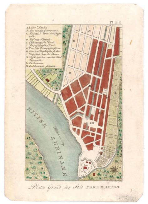
Subject: Paramaribo, Suriname
Period: 1791 (circa)
Publication:
Color: Hand Color
Size:
3.5 x 6 inches
8.9 x 15.2 cm
Download High Resolution Image
(or just click on image to launch the Zoom viewer)
(or just click on image to launch the Zoom viewer)