Subject: Maryland
Period: 1894-1905 (dated)
Publication:
Color: Printed Color
Size:
13.5 x 17.5 inches
34.3 x 44.5 cm
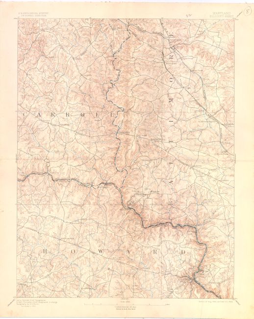
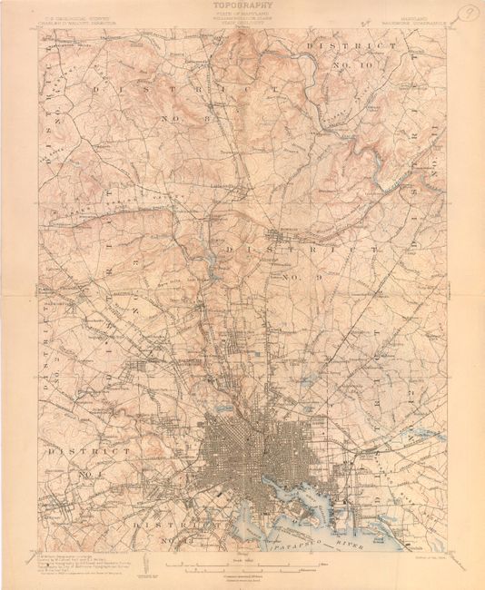
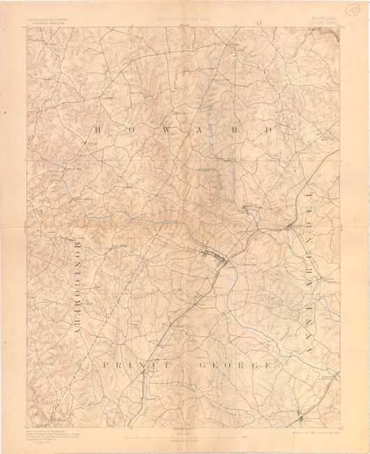
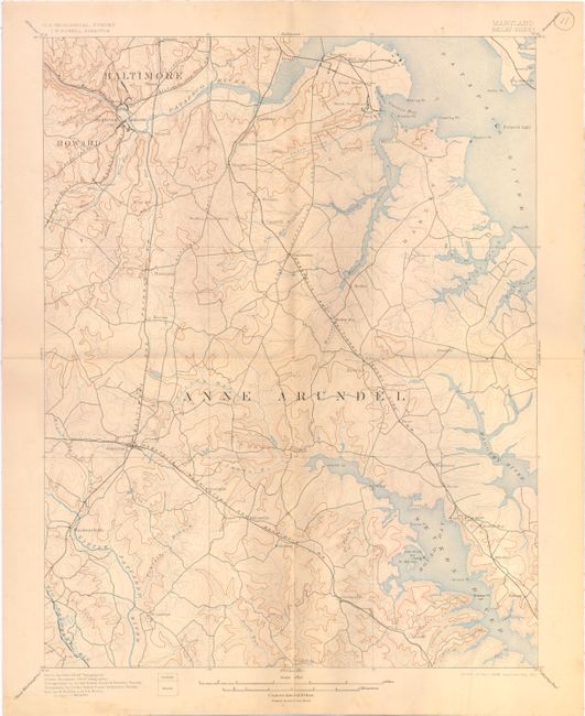
These are topographic maps consisting of four contiguous sheets, not assembled:
A. Ellicott Sheet (upper left sheet)
B. Baltimore Quadrangle (upper right)
C. Laurel Sheet (lower left)
D. Relay Sheet (lower right)
The maps cover Baltimore and vicinity including most of Baltimore, Anne Arundel and Howard Counties, and parts of Prince
George's, Montgomery and Carroll Counties. The maps extend from Cockeysville near the top of the upper right sheet to Bowie at the bottom of the lower left sheet. Laurel is near the center of the lower left sheet. Ellicott City is near the bottom of the upper left sheet. Street patterns of Baltimore and surrounding towns are shown.
References:
Condition: B+
Mounted on linen. There are a few occasional spots and the Laurel sheet has a crease at the lower right corner of the image, else very good.