Subject: Louisiana
Period: 1852-55 (dated)
Publication:
Color: Black & White
This is a lot of three maps focused on Louisiana including:
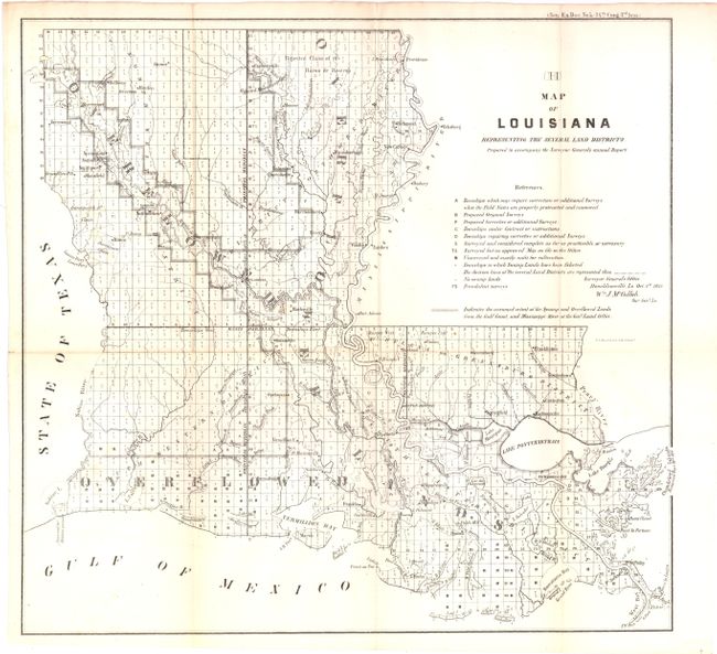
A. Map of Louisiana… by the Surveyor General's Office, dated 1855, (16.3" x 15.5"). This is a detailed map showing surveys, proposed, completed, fraudulent, and corrected throughout the state. Dated Oct. 1, 1854 and signed by William J. McCulloh, Surveyor General. Condition - a hint of toning, else very good. (B+)
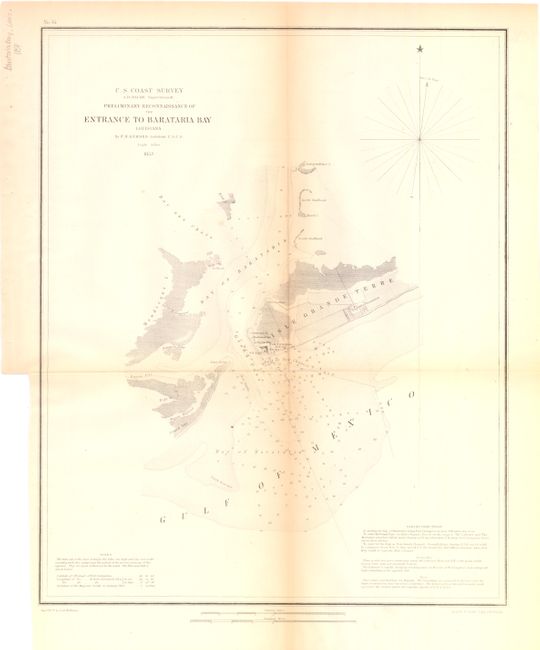
B. Preliminary Reconnaissance of the Entrance to Barataria Bay by the U. S. Coast Survey, dated 1853, (13.5 x 16.8 "). This chart is focused on Barataria Bay which leads into the Gulf of Mexico. It is located between Empire and Grand Isle, Louisiana. Condition - there is some toning along the centerfold and a binding trim at lower left. (B+)
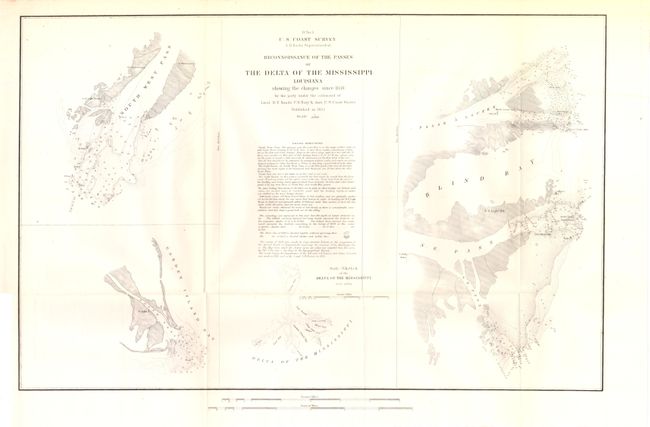
C. Reconnoissance of the Passes of the Delta of the Mississippi by the U. S. Coast Survey, dated 1852, (20.5 x 13"). This map shows four small charts on a single page, depicting Blind Bay and vicinity, South West Pass, South Pass and the Delta of the Mississippi. Sailing directions shown in the center of a nicely balanced sheet. Condition - very light even-age toning and a binding trim at lower left. (A)
References:
Condition:
See descriptions.