Subject: Southern United States
Period: 1862-73 (circa)
Publication:
Color: Hand Color
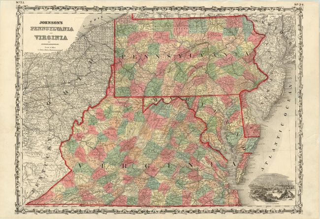
A. Johnson's Pennsylvania and Virginia by Johnson & Browning, circa 1862, (22.5 x 16"). This is a map showing Pennsylvania, Maryland, Delaware and Virginia with county boundaries delineated. There is extensive detail of cities, roads, railroads and waterways and an illustration of the city of Baltimore at lower right. Virginia includes the counties of West Virginia, making the map circa 1862 or earlier. Condition - Nice clean image. There are minor separations on the centerfold which have been repaired with tissue on verso. (A)
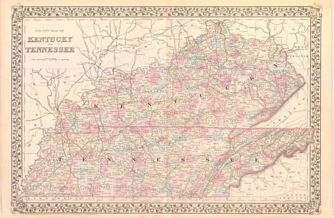
B. County Map of Kentucky and Tennessee by S.A. Mitchell, circa 1873, (21.3 x 14.3"). County boundaries are delineated and there is good detail of roads, railroads, rivers and place names. (A)
References:
Condition:
See descriptions.