Catalog Archive
Auction 138, Lot 217

"A Map of Those Parts of Virginia, North Carolina, South Carolina & Georgia which were the Scenes of the Most Important Operations of the Southern Armies", Lewis, Samuel

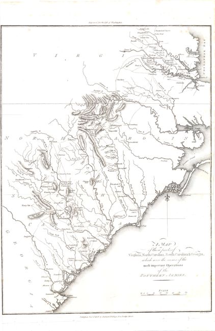
Subject: Southeast United States

Period: 1806 (dated)

Publication: Life of Washington

Color: Black & White

Size:
10.3 x 14.3 inches
26.2 x 36.3 cm
Download High Resolution Image
(or just click on image to launch the Zoom viewer)

This map documents the route of Cornwallis' Southern campaign from Savannah, to Charleston, then up to the interior of the Carolinas. The campaign ended at the Siege of Yorktown, Virginia with Cornwallis surrendering to American and French forces in 1781. Engraved by Samuel Neele on the Strand and published by Richard Phillips.

References:

Condition: B

The left margin is trimmed to the neatline and the right margin is narrow, with a few scattered spots in the image. Issued folding.

Estimate: $275 - $350

Sold for: $200

Closed on 12/7/2011

Archived