Catalog Archive
Auction 138, Lot 204

"The States of Maryland and Delaware from the Latest Surveys", Low, E.

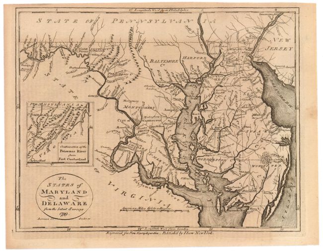
Subject: Mid-Atlantic United States

Period: 1799 (dated)

Publication: New Encyclopedia

Color: Black & White

Size:
9.3 x 7.3 inches
23.6 x 18.5 cm
Download High Resolution Image
(or just click on image to launch the Zoom viewer)

This map was drawn by Anderson and engraved by John Scoles, showing all of Maryland and Delaware. The inset extends west, "Continuation of the Potowmac River from Fort Cumberland." Title in circular cartouche, distance scale is in American Miles. This map is identical (except for date and imprint) to Payne's map from the 1799 edition of New and Complete Universal Geography, which itself was derived from the Samuel Lewis map of 1795.

References: cf Wheat & Brun #515.

Condition: B+

There is a tiny repaired tear in the upper right margin that just passes the neatline and some overall light toning, else very good.

Estimate: $200 - $300

Sold for: $80

Closed on 12/7/2011

Archived