Subject: Vermont, New Hampshire
Period: 1893-96 (dated)
Publication:
Color: Printed Color
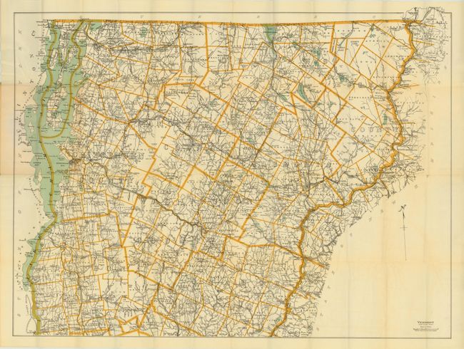
A. Vermont - Northern Part, dated 1896, (35.5 x 27.3"). The map extends from Brandon, Royalton and Thetford north to the Canadian border. Counties are well delineated and Lake Champlain is shown at left. Folds into paper wrappers. Condition - the image is clean and bright with several short splits at fold intersections. (B)
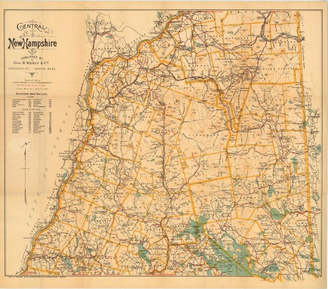
B. Central New Hampshire, dated 1893, (25 x 21"). The map extends from Lake Winnepiseogee in the south to Lancaster and Berlin counties in the north, showing Mount Washington, Jefferson and Adams. Roads, railroads and rives are noted as well as cycling routes in red. Folds into paper wrappers. Condition - the image is clean and bright with just a few short splits at fold intersections. (B+)
References:
Condition:
See descriptions.