Subject: Atlases
Period: 1881 (published)
Publication:
Color: Printed Color
Size:
10 x 13.5 inches
25.4 x 34.3 cm
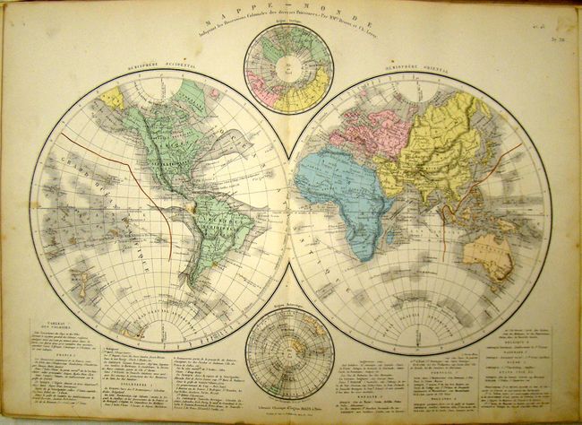
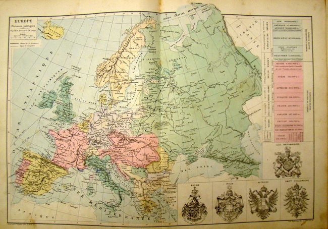
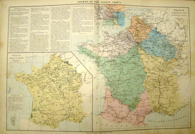
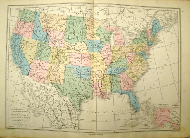
Leroy was one of the premier mapmakers of mid-19th Century France, rivaling contemporaries in both the United Kingdom and the United States. This fascinating, comprehensive early 20th century French atlas was published by Drioux & Leroy, the latter of whom was one of the premier mapmakers of mid-19th Century France. The atlas contains 88 maps and charts from all around the world. It also includes a table of cosmography, a celestial planisphere, and historical maps from ancient and Roman times and the Middle Ages. The modern maps include separate geographical and political versions for each country or region. Some of the maps are color lithographed, and some are hand colored. Each map contains incredible detail, with the names of countless cities, towns, rivers, etc. Only the folding map of the physical and political boundaries of France is missing. Maps are folded and tipped in as with earlier atlases. Folio with printed paper boards.
References:
Condition: B+
Maps are in near fine to good condition, with light toning and some scattered stains. Condition code is average for the maps. Spine missing and boards attached with cello tape.