Subject: Atlases
Period: 1857 (published)
Publication:
Color: Hand Color
Size:
6.5 x 7.5 inches
16.5 x 19.1 cm
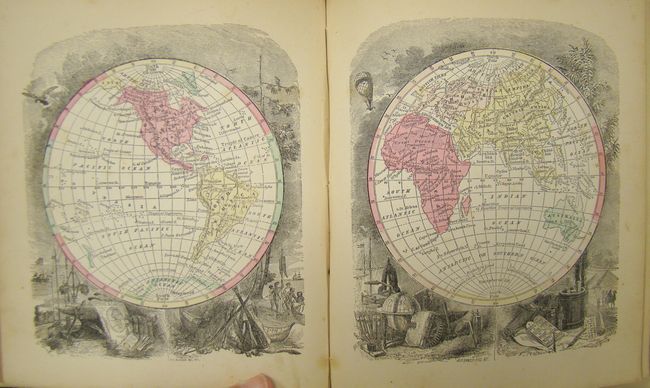
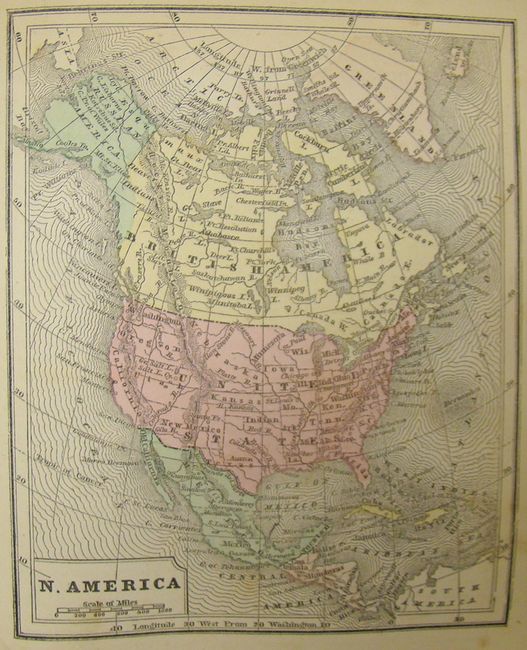
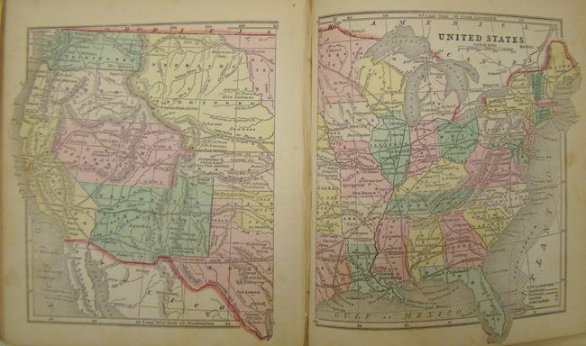
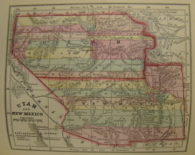
This is the very desirable edition of this small atlas that contains pre-Civil War American state and territory maps. It includes maps of all the Americas, with specific focus on the U.S. states and territories, several interesting thematic world maps showing data like animal distribution, religions and climate, plus an uncolored map of the proposed Transatlantic Telegraph. The map of the territories of Washington and Oregon extends to the Continental Divide. The map of Utah and New Mexico is nearly identical to Colton's important map of the territories. The first 30 pages of the book feature beautiful engravings of ships, animals, natural disasters, climates, and putti. One title page (additional title page missing), publishers' preface, table of contents, text and 53 maps, 239pp. Hardbound in black paper boards with blind stamped and ornate gilt titling on both covers and spine, and full gilt on page edges (t.e.g.).
References:
Condition: B+
Maps are in very good to fine condition. Spine was detached and the majority has been reattached on top of cloth tape. Covers are rubbed with bumped corners. Front free-endpaper and first title page are missing, and the front and back pastedowns are stained. Inside front cover is starting and is supported with tape. Text with occasional light, scattered foxing, and two pages have been secured with tape.