Subject: Atlases
Period: 1862 (circa)
Publication:
Color: Hand Color
Size:
14.8 x 18.5 inches
37.6 x 47 cm
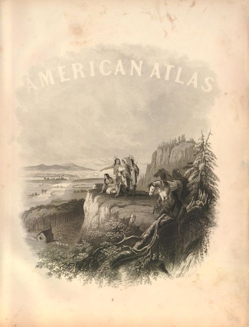
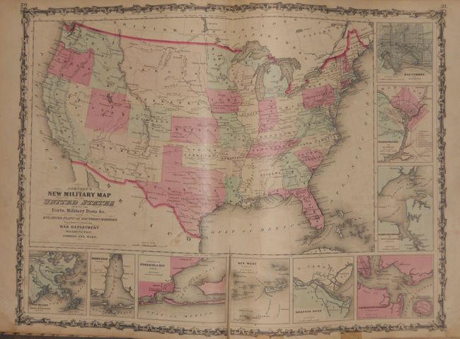
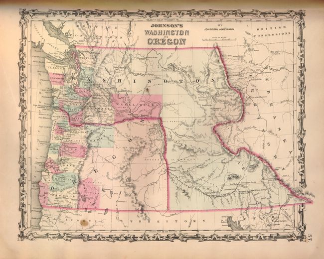
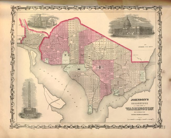
This popular atlas contains 43 single and half-page maps, and 25 double-page maps. These are all beautiful, steel engraved plates with rich color and tremendous detail. Many of the maps include vignettes showing important buildings and vivid scenes. This desirable atlas is highlighted by the short-lived New Military Map of the United States in the desirable configuration showing states and territories rather than by military districts. Other maps of interest include Georgetown and the City of Washington; New Map of the State of Texas, a great map of the plains territories, a nice map of the Pacific Northwest and a beautifully engraved frontispiece. This atlas also contains several thematic maps and diagrams interspersed throughout the text.
The map of the Southwest is one of the most desirable editions. Arrizona shows up in the southern part of New Mexico Territory. This is thought to represent the Confederate Territory of Arizona that existed for nearly a year from August 1861 until July of 1862. The Confederate General Baylor appointed himself the territorial governor and claimed all of New Mexico Territory south of the 34th parallel. In the southern part of Arizona is the "Gadsden Ten Million Purchase of Mexico." The Utah/Nevada border follows the 116th meridian. The map is filled with historic and interesting notations. One note in the area of Quartzite, Arizona refers to the area as being "exceedingly fertile and abundantly timbered and well watered." Additional details include the U.S. Mail routes, the Emigrant road to California, the proposed railroad route through Utah, Nevada and California, and the Pony Express trail. The double-page map of Texas shows county development mostly in eastern Texas and only the three large counties of El Paso, Presidio and Bexar in the west. The panhandle, noted as the Staked Plains (Elevated Table Land, without Wood or Water), includes a large section that is unorganized. There is nice depiction of the wagon roads, many named, with several completed railroads. The inset maps include a 'Plan of Sabine Lake,' 'Plan of the Northern part of Texas,' and 'Plan of Galveston Bay.' The map of the Northwest shows the large Washington Territory wrapping around Oregon, taking in the region that would eventually become Idaho. The map of the plains region includes the newly organized Dakota Territory and Nebraska with its panhandle stretching west to the Rocky Mountains.
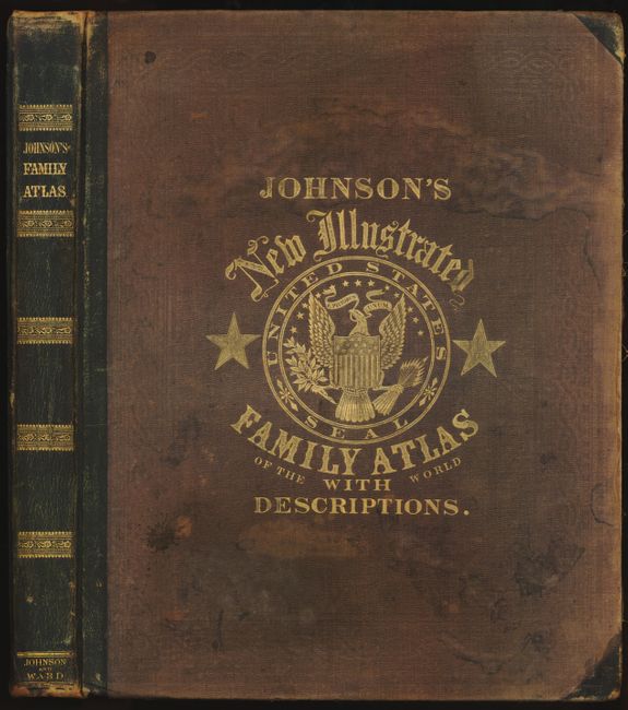
Folio. Original hardbound half calf and embossed brown cloth with titling in gilt on front cover and spine, marbled end papers.
References:
Condition: B
The maps are generally very good, but some have scattered foxing and several double-page sheets have splits at lower centerfold, as often seen with this atlas. The frontis and the Michigan & Wisconsin map are loose, but undamaged. The maps of Ohio & Indiana are very worn with tears and repairs. Map of Texas has two stain spots at the corners. Covers are very worn and starting.