Subject: Africa
Period: 1858-61 (circa)
Publication:
Color: Hand Color
This pair of maps provide an excellent view of the European exploration of Africa that began in earnest at the beginning of the nineteenth century.
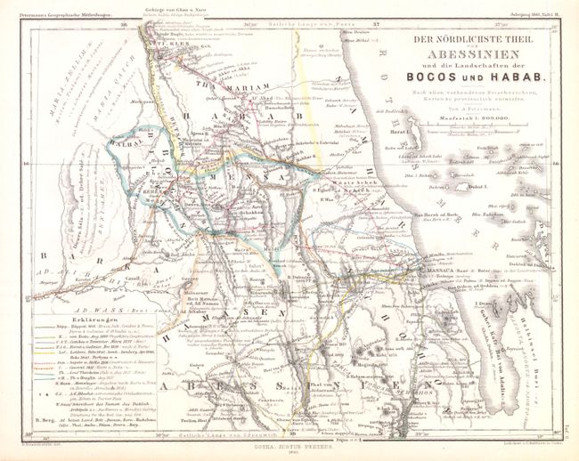
A. Der Nordlichste Theil von Abessinien und die Landschaften der Bocos und Habab, 1861, (9.7 x 7.7"). This is a map of Northeastern Africa showing the routes of nine different explorers in the area. The routes go through current day Eritrea and Ethiopia. There is detail of towns, rivers, coastline and mountains in hachure.
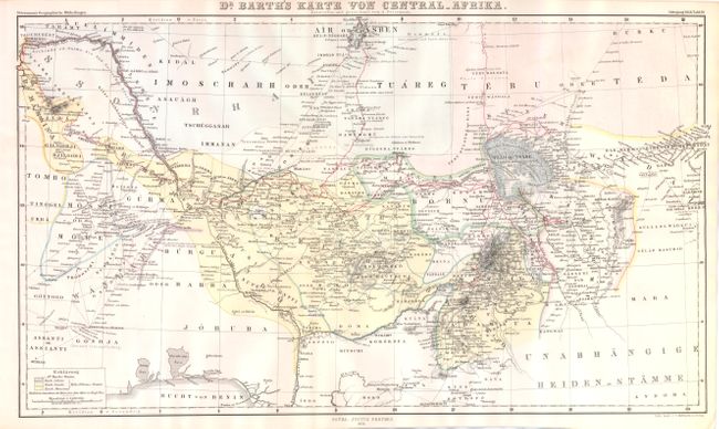
B. Dr. Barth's Karte von Central - Afrika, 1858, (17 x 10.2"). Nice map showing the journey of Dr. Heinrich Barth in West-Central Africa covers areas in Nigeria, Mali, and Benin. Heinrich was a part of a team in 1850 tasked with advancing deep into Africa from the north. With his formal training in the sciences, he was able to observe more of the peoples and geography than previous explorers.
References:
Condition: A
Maps are in excellent condition with only a hint of toning in the blank margins.