Catalog Archive
Auction 137, Lot 775

"Chart of the Northern Part of the Bay of Bengal Laid down Chiefly from the Surveys Made by Bartholomew Plaisted and John Ritchie", Delahaye, Guillaume Nicolas

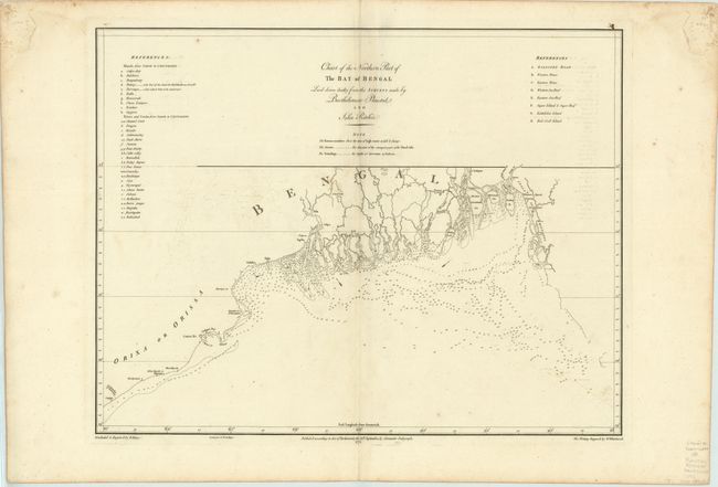
Subject: India and Bangladesh

Period: 1772 (dated)

Publication:

Color: Black & White

Size:
23.5 x 18.1 inches
59.7 x 46 cm
Download High Resolution Image
(or just click on image to launch the Zoom viewer)

This is a detailed, large-scale chart of the Bay of Bengal and the Ganges-Brahmaputra delta. It was compiled from the surveys made by Bartholomew Plaisted and John Richie, surveyors of the East India Company. The chart includes extensive information on tides, soundings, and shoals, as well as a legend identifying numerous islands and reefs on the map. Published by Alexander Dalrymple.

References:

Condition: B+

Watermarked paper with wide margins, faint offsetting and minor soiling. There are faint damp stains in upper corners, far from map image.

Estimate: $130 - $160

Unsold

Closed on 9/14/2011

Archived