Catalog Archive
Auction 137, Lot 611

"Regni Poloniae Magnique Ducat Lithuaniae Nova et Exacta Tabula", Homann, Johann Baptist

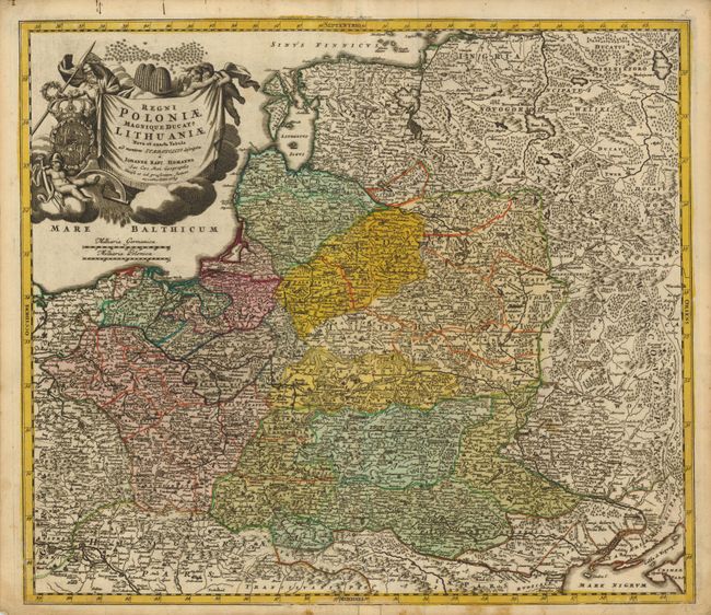
Subject: Northeastern Europe

Period: 1759 (dated)

Publication:

Color: Hand Color

Size:
22 x 19.3 inches
55.9 x 49 cm
Download High Resolution Image
(or just click on image to launch the Zoom viewer)

Striking example of Homann's map of Poland, Lithuania, Lativa, Estonia and a portion of Russia, extending from St. Petersburg in the north to the Black Sea in the south. The map includes a lot of topographic detail and as well as the cities of Kiev, Minsk, Warsaw and Vienna. A gorgeous allegorical cartouche fills the Baltic Sea and features Ares, god of war, holding both a spear and a laurel wreath, the Polish-Lithuanian coat of arms under Wettin dynasty, and beehives symbolizing industry.

References:

Condition: B+

On heavy paper with a printer's crease near centerfold and minor soiling.

Estimate: $475 - $550

Sold for: $350

Closed on 9/14/2011

Archived