Subject: Polar
Period: 1778 (dated)
Publication:
Color: Black & White
Size:
4 x 6 inches
10.2 x 15.2 cm
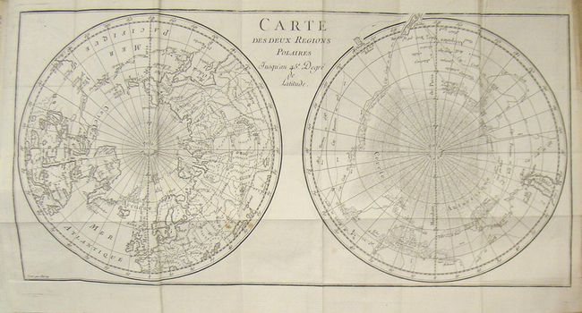
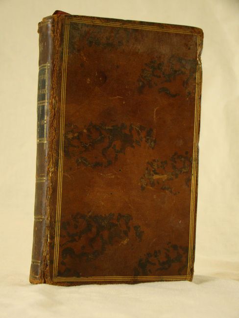
Interesting map of the poles that shows numerous tracks of explorers, including Tasman, Furneaux, Halley, Marion and the 1773 expedition of Cook. There is an unusual and utterly spurious Northwest Passage shown from Hudson Bay via Wager Inlet into a Grand Eau des Sauvages down into L de Fonte and thus to the Pacific. There are many ice floes or icebergs depicted in both poles. The map is bound into a copy of Buffon's Histoire Naturelle, 372pp, and measures 8.5 x 17.5".
References:
Condition: B+
Condition code is based upon the map. Nice example with some soiling in the right blank margin along with a few small spots in the image. Leather covers are showing some cracking but are structurally sound. Contents tight and clean.