Catalog Archive
Auction 137, Lot 571

"Accuratissima Totius Regni Hispaniae Portugalliae Tabula et Typus Novissimus…", Wit, Frederick de

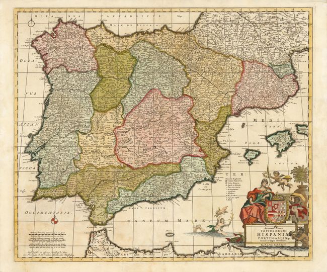
Subject: Spain & Portugal

Period: 1690 (circa)

Publication:

Color: Hand Color

Size:
23.3 x 19.5 inches
59.2 x 49.5 cm
Download High Resolution Image
(or just click on image to launch the Zoom viewer)

This map of Portugal, Spain and the Balearic Islands is divided by provinces and filled with topographical information and place names. The large title cartouche features Europa leaning on the coat of arms of Phillip II, repersenting the Spanish Monarchy at the height of its power. In the Mediterranean a putto plays with several mermen.

References:

Condition: B+

Original outline color with minor soiling and a centerfold separation that enters map image 1/4" and had been closed on verso with archival tape.

Estimate: $350 - $450

Sold for: $250

Closed on 9/14/2011

Archived