Catalog Archive
Auction 137, Lot 563

"Ostliche Halfte von Paris / Westliche Halfte von Paris", Meyer, Joseph

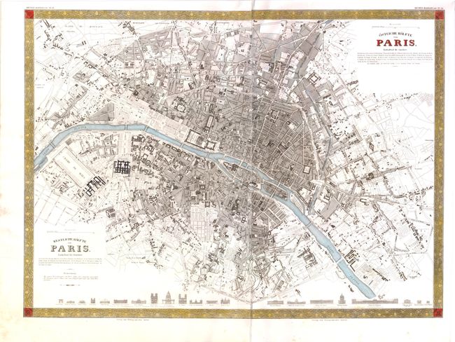
Subject: Paris, France

Period: 1845 (circa)

Publication: Handatlas

Color: Hand Color

Size:
21.8 x 16 inches
55.4 x 40.6 cm
Download High Resolution Image
(or just click on image to launch the Zoom viewer)

Meyer's scarce map of Paris is based on the 1834 map from the Society for the Diffusion of Useful Knowledge (SDUK). This joined two-sheet steel engraving shows the entire city in remarkable detail. Along the bottom are a total of 21 elevation views of important structures in the city. Scores of buildings and all major roads and boulevards are named. This plan and the original SDUK map were issued during the period of political uncertainty and civil unrest that marked the la monarchie de Juillet (July Monarchy).

References:

Condition: A

Minor soiling in the blank margins and a few tiny spots, else fine.

Estimate: $150 - $200

Sold for: $110

Closed on 9/14/2011

Archived