Catalog Archive
Auction 137, Lot 525

"Isle et Royaume d'Irlande…", Fer, Nicolas de
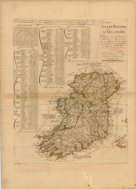
Subject: Ireland

Period: 1706 (dated)

Publication:

Color: Hand Color

Size:
18.3 x 23 inches
46.5 x 58.4 cm
Download High Resolution Image
(or just click on image to launch the Zoom viewer)

This large, handsome map of Ireland contains superb topographical and political information. Three tables at top left list the longitude and latitude of the major towns in each county. The map is filled with information on the various counties, and identifies archbishoprics, bishoprics, castles, towns of various sizes, anchorages, and navigational hazards along the coastline.

References:

Condition: B

Original outline color with wide margins on watermarked paper, with toning along centerfold and minor creasing. Some light offsetting, and marginal soiling.

Estimate: $400 - $500

Sold for: $300

Closed on 9/14/2011

Archived