Catalog Archive
Auction 137, Lot 510

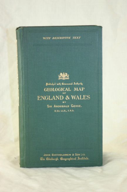
"Geological Map of England & Wales", Geikie, Archibald [Sir]

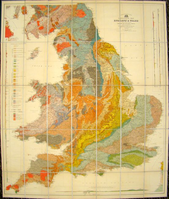
Subject: England & Wales

Period: 1897 (published)

Publication:

Color: Printed Color

Size:
33.5 x 40 inches
85.1 x 101.6 cm
Download High Resolution Image
(or just click on image to launch the Zoom viewer)

This is a superb, large-scale thematic map covering England and Wales. It is vibrantly colored to illustrate 50 different geological formations. The map provides exceptional detail of the roads, canals, and railways that made up the transportation system. In addition, there are four profile maps along the sides and bottom showing geologic formations for specific locales. Dissected and laid on original linen, the map folds into green cloth boards, with gilt text on the front cover. Included with the map is a 28 pp. explanatory note. Published by John Bartholomew & Son.

References:

Condition: A+

Estimate: $350 - $450

Sold for: $275

Closed on 9/14/2011

Archived