Catalog Archive
Auction 137, Lot 473

"Partie la Plus Meridionale de l'Amerique, ou se Trouve le Chili, le Paraguay, et les Terres Magellaniques avec les Fameux Detroits de Magellan et de le Maire", Fer, Nicolas de

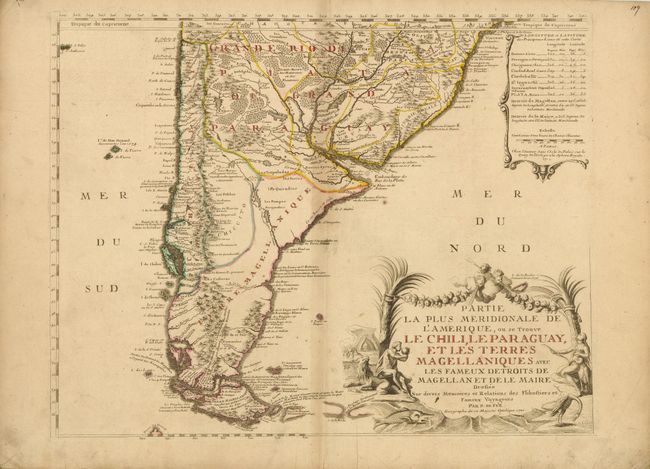
Subject: South America - Southern

Period: 1720 (dated)

Publication:

Color: Hand Color

Size:
24.8 x 19.5 inches
63 x 49.5 cm
Download High Resolution Image
(or just click on image to launch the Zoom viewer)

A richly detailed map of the southern tip of South America, from the Tropic of Capricorn south to Tierra del Fuego. Off the eastern coast lies the phantom Pepys Island, here called I. Pepie ou Peipis. Pepys Island was named for Samuel Pepys by Ambrose Cowley in 1684, who placed it a couple hundred miles north of the Falkland Islands. Many expeditions attempted to locate the island and it was assumed to be a misplaced member of the Falkland Islands. The title is surrounded by natives, animals and wind heads, and an inset at the upper right lists latitude and longitude for the principal areas.

References:

Condition: B+

Original outline color with toning along centerfold and some light soiling. Two printer's creases at bottom just enter blank area of map image, with additional soiling in blank margins.

Estimate: $475 - $600

Sold for: $300

Closed on 9/14/2011

Archived