Subject: United States, Mexico, Caribbean
Period: 1850 (dated)
Publication:
Color: Hand Color
Size:
32 x 35 inches
81.3 x 88.9 cm
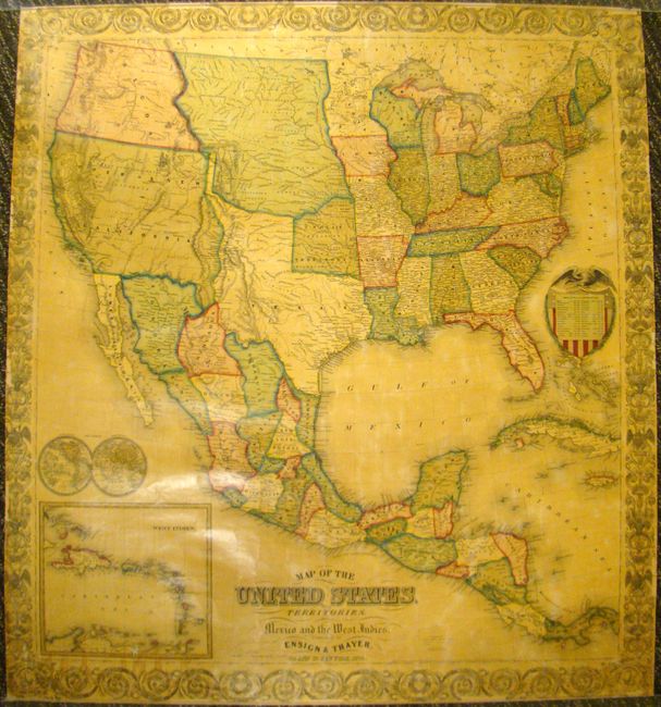
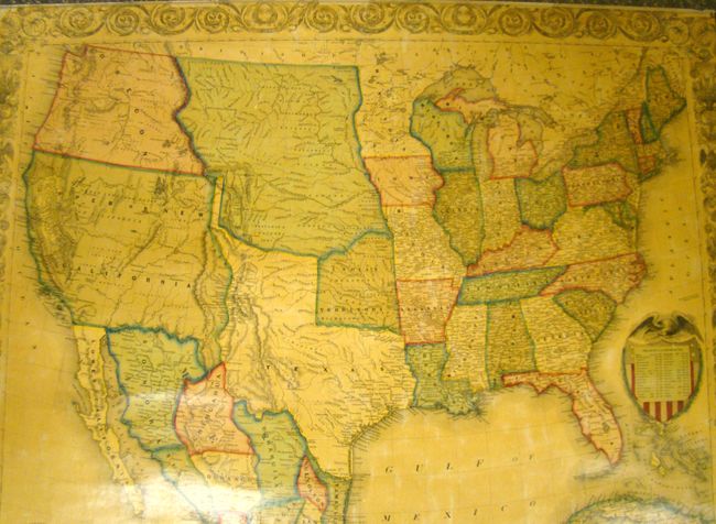
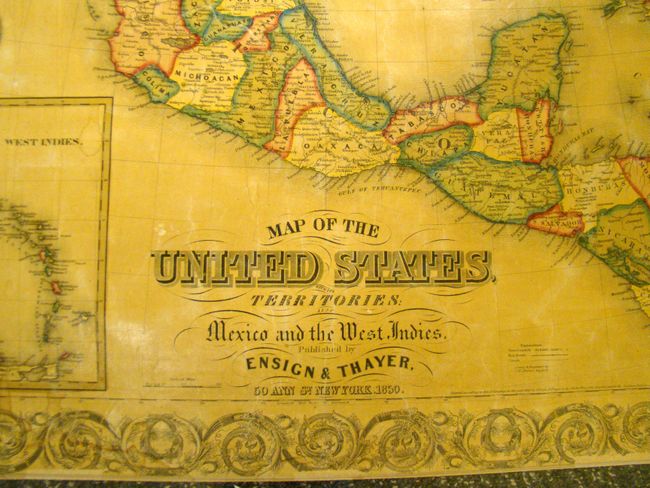
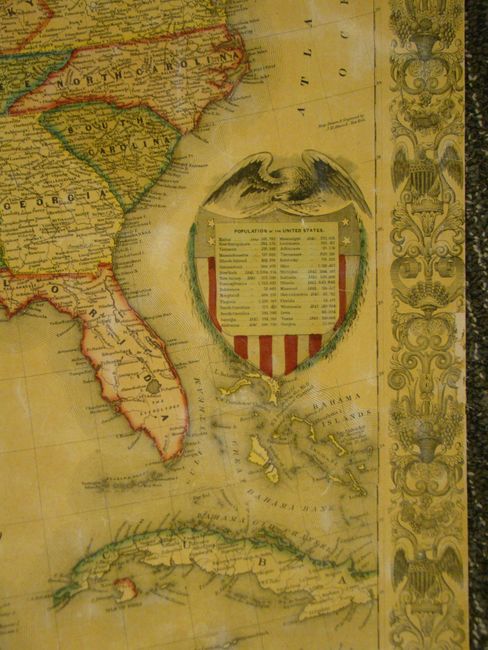
This outstanding wall map of the United States was published at an important point in U.S. history immediately after territorial gains secured during the Mexican American War and at the beginning of the California Gold Rush. The map illustrates early western territorial development with only a handful of territories occupying the West including Oregon, Upper New California, Indian Territory, the young state of Texas and a huge unnamed territory in the northern plains. In Upper New California, the "Gold Region" is noted while Texas is shown in its elongated configuration. The map has good detail of roads, major towns and villages, railroads, Indian tribes, watershed, forts and more. A number of routes and trails are noted such as Fremont's Route, the Great Spanish Trail and the Route of the Santa Fe Caravans. There are also two inset maps: a small double-hemisphere world map and the West Indies. A highly decorative border surrounds the map and the United States seal incorporates a table listing the population by state. The map was drawn and engraved by J.M. Atwood of New York.
References:
Condition: B+
Very nice example. There is some minor image loss along the borders and a tiny hole off the coast of Oregon. Some minor staining at lower left. Map is varnished and backed with linen, as issued. Rollers are missing.