Subject: Virginia
Period: 1862 (dated)
Publication:
Color: Printed Color
Size:
19 x 24.5 inches
48.3 x 62.2 cm
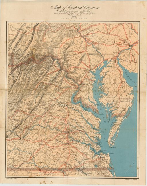
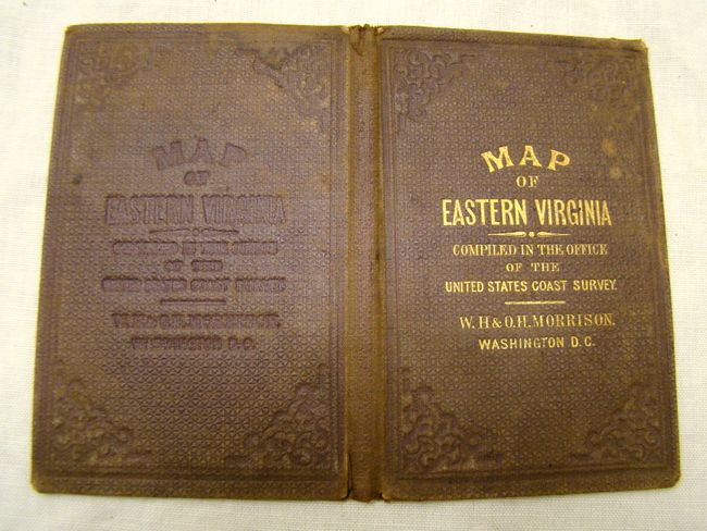
This is great a map of the eastern portion of Virginia, showing its original boundaries prior to West Virginia seceding in 1863. This map was issued to illustrate the primary theater of the Civil War. The map shows strategic detail of towns, roads, railroads, rivers and mountains in hachure. There are red concentric circles centered on Richmond showing various distances to the capital and railroads are shown in red. The map also shows detail of Maryland, Delaware, southeastern Pennsylvania and parts of New Jersey and North Carolina. Folds into original brown cloth covers. While 5,500 copies of this map were distributed, with seven print runs in 1862, due to the overwhelming interest in maps showing Civil War action, few survived and the map is rarely offered on the market. Issued with pocket covers (detached). Lithographed by Chas. G. Krebs.
References: cf. Stephenson & McKee p. 210.
Condition: B+
Very nice example. There are some minor fold separations that have been expertly repaired with Japanese tissue on verso with light scattered foxing.