Subject: Kansas Territory
Period: 1858 (published)
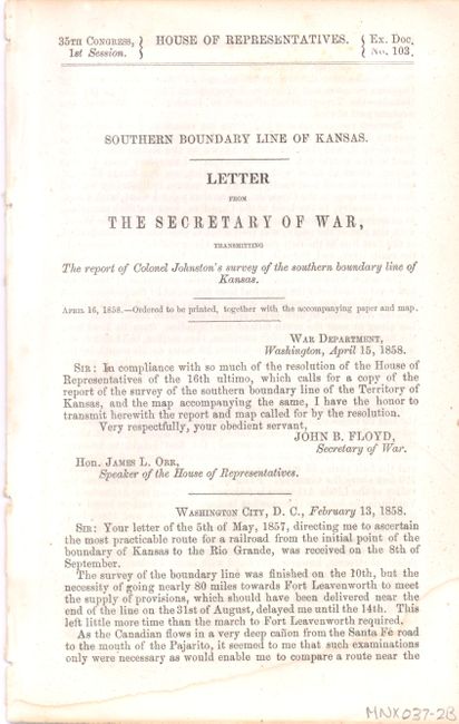
Publication: HR Doc #103, 35th Congress, 1st Session
Color: Black & White
Size:
48 x 21 inches
121.9 x 53.3 cm
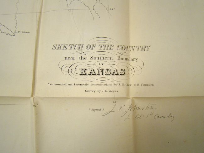
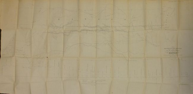
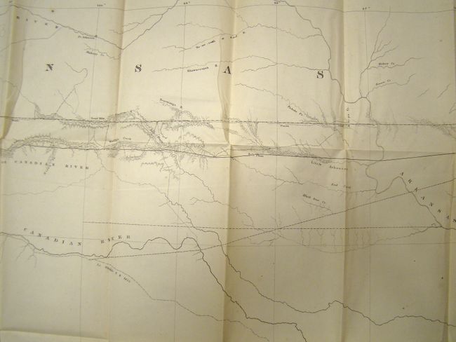
This map describes the important survey that established the southern boundary of Kansas Territory and the feasibility for a southern railroad route. The survey was conducted by Col. Joseph E. Johnson with the map drawn by his assistant, J.E. Weyss. It covers the region from Neosho, Missouri to Albuquerque, New Mexico and includes topographic features and good detail. It locates forts, identifies the Santa Fe Trail as the Santa Fe Road, shows the route of Lt. Whipple in 1853, Aubrey's Trail (an important cattle trail), and names Old Fort Scott, Ft. Union, Raton Pass and Santa Fe. At bottom is a profile of elevations by Dr. Wizlizenus. The map is accompanied with the original, disbound, three-page report "Southern Boundary Line of Kansas. Letter from the Secretary of War, Transmitting The report of Colonel Johnston's survey of the southern boundary line of Kansas," dated April 15, 1858. A historically important map complete with its short report.
References: Wagner & Camp #301a; Rittenhouse (The Santa Fe Trail) #330.
Condition: A
This large map is in remarkable condition given its size and paper. It is clean and bright with one tiny fold intersection split. Folded as issued and separated from the report.