Subject: Southwestern United States
Period: 1871 (dated)
Publication:
Color: Black & White
Size:
22 x 28.5 inches
55.9 x 72.4 cm
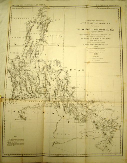
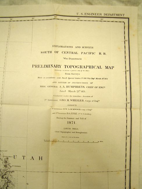
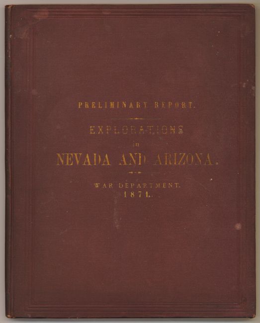
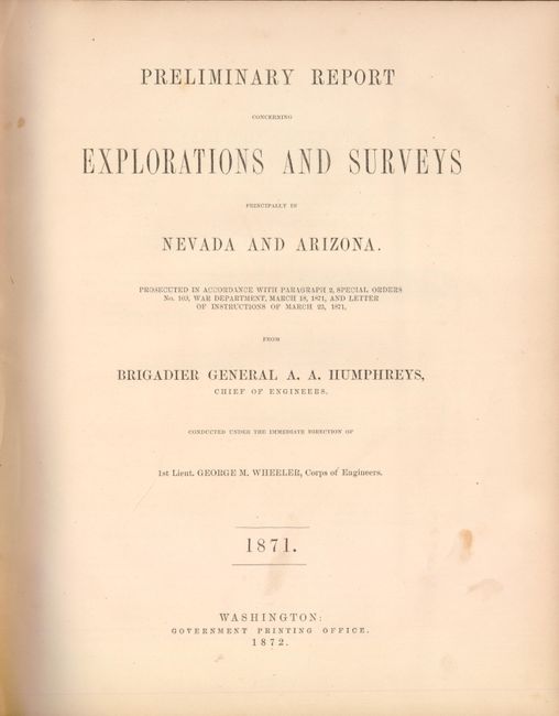
This complete report describes Wheeler's explorations in Nevada and Arizona and the first exploration of Death Valley. It is complete with the large folding Preliminary Topographical Map that covers parts of Southern California, Nevada and Arizona and details scores of mining districts. Wheat refers to it as a "map of great interest." Wheeler was modest regarding the map's construction and in the notations said the map "is a hasty and partial compilation from the topographical data already received, many still remaining en route." The report contains a great amount of information on the mining districts, as well as information concerning the Indians, military sites, routes for roads, and grazing lands. 4to, 96 pp., original gilt-titled brown cloth covers. The map was also published in Senate Doc. #65, 42nd Congress, 2nd Session, but this preliminary report is scarce, more so complete with the map.
This map is labeled preliminary, as it was the forerunner of what would become one of the most important surveys of the American West. The 1870s was a period of intense effort, by such prominent people as Clarence King, Ferdinand Hayden, and John Wesley Powell, to advance the geographical knowledge of the West. These various surveys presented a threat to the Army's supremacy in the field of mapping and to the related appropriations from Congress. As a result of these pressures, the Army Corp of Engineers developed a plan to systematically survey the entire West which became the U.S. Geographical Surveys West of the One Hundredth Meridian. Lieutenant George Wheeler was chosen to head this immense project largely as a result of the surveys he conducted in Nevada and Arizona.
References: Howes W321; Wheat [TMW] #1237.
Condition: B+
The map is on thick paper and is very nice with only a few spots and a short binding tear. Binding has shelf wear and the spine is sunned. Contents are tight with even toning and a few foxing marks to some pages.