Subject: Central United States
Period: 1933-38 (dated)
Publication:
Color: Printed Color
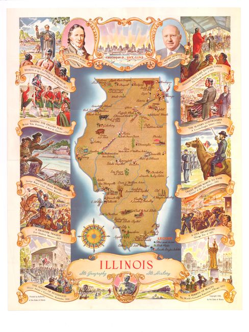
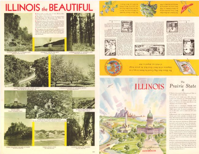
A. Illinois Its Geography Its History by The State of Illinois, 1938, (16 x 20.5"). This is a pictorial map of Illinois that was produced to encourage tourism to the state. The map shows points of interest and larger cities and is surrounded by small vignettes of Illinois history. State facts and photographs are on verso. (A+)
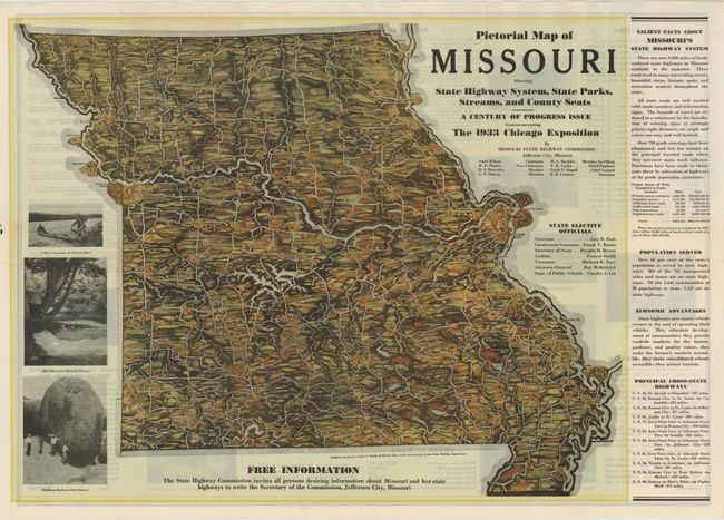
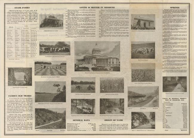
B. Pictorial Map of Missouri… by Missouri State Highway Commission, ca. 1933, (23.8 x 19"). Nice pictorial map of Missouri which shows the highway system, state parks and county seats. The verso shows many pictures and some statistics, touting the state's beauty and resources. (A)
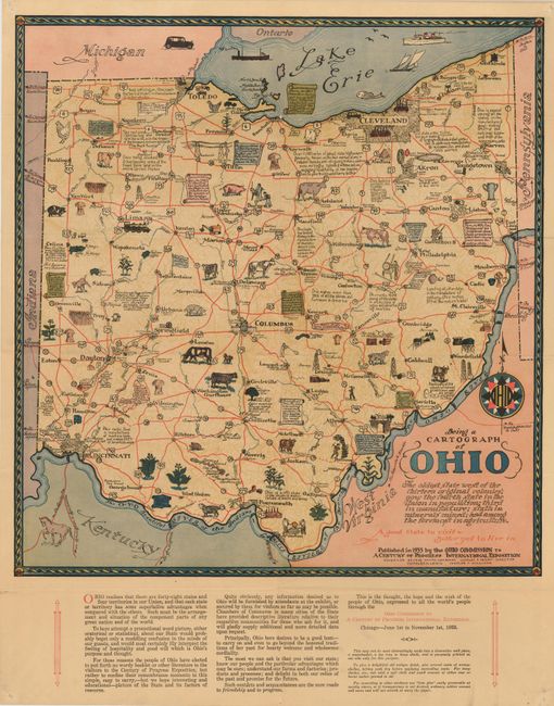
C. Being A Cartograph of Ohio by The Ohio Commission to a Century of Progress…, 1933, (18 x 19"). This is also a promotional map sponsored by the state government to encourage tourism during the "Century of Progress International Exposition". Cities and roads are noted along with pictorial detail of resources and industry. Blank verso. (B+)
References:
Condition:
Overall very good condition with very occasional minor staining and light toning. The Ohio map has a few tiny splits at fold intersections, with the centerfold being repaired on verso. See grading in the descriptions.