Catalog Archive
Auction 137, Lot 221

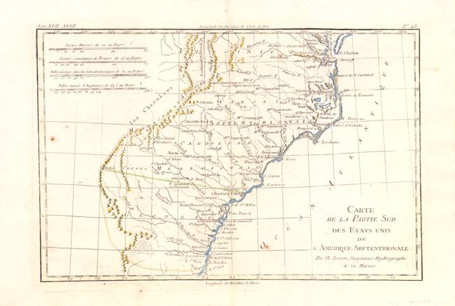
"Carte de la Partie Sud des Etats Unis de l'Amerique Septentrionale", Bonne, Rigobert

Subject: Southeast United States

Period: 1780 (circa)

Publication:

Color: Hand Color

Size:
12.3 x 8.3 inches
31.2 x 21.1 cm
Download High Resolution Image
(or just click on image to launch the Zoom viewer)

Attractive and concise copper-engraved map that covers the states of Virginia, North and South Carolina, and Georgia in the new United States. All settlement is confined east of the Appalachians with les Cherokees the only note in the otherwise blank region west of the mountains. There are four distance scales located on the left side of the map.

References: Sellers & Van Ee #1406.

Condition: B+

Nice example with just a few small spots in image that do not distract.

Estimate: $180 - $220

Unsold

Closed on 9/14/2011

Archived