Catalog Archive
Auction 137, Lot 201

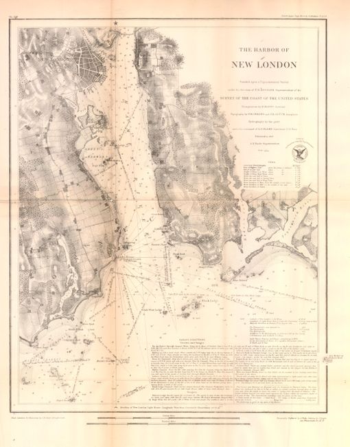
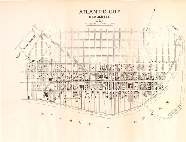
"[Lot of 3] The Harbor of New London [and] Atlantic City New Jersey [and] Map of the City of Providence",

Subject: United States - New England

Period: 1848-80 (circa)

Publication:

Color: Black & White

Size:
See Description
Download High Resolution Image
(or just click on image to launch the Zoom viewer)

This is a lot of three city plans including: A. The Harbor of New London, (14 x 18"). Coast Survey map which shows nice detail of the Thames River as well as New London and the surrounding area.

B. Atlantic City New Jersey, (15 x 11"). Simple map showing the streets and areas of development in Atlantic City.

C. Map of the City of Providence, (20 x 33"). Map of Providence showing the water/sewer system of the area with additional detail highlighting streets, highways, railroads and rivers.

References:

Condition: B+

The maps are generally very good with some minor toning. The Providence map has a few splits at fold intersections.

Estimate: $150 - $200

Sold for: $110

Closed on 9/14/2011

Archived