Subject: Eastern Africa
Period: 1740-84 (circa)
Publication:
Color: Hand Color
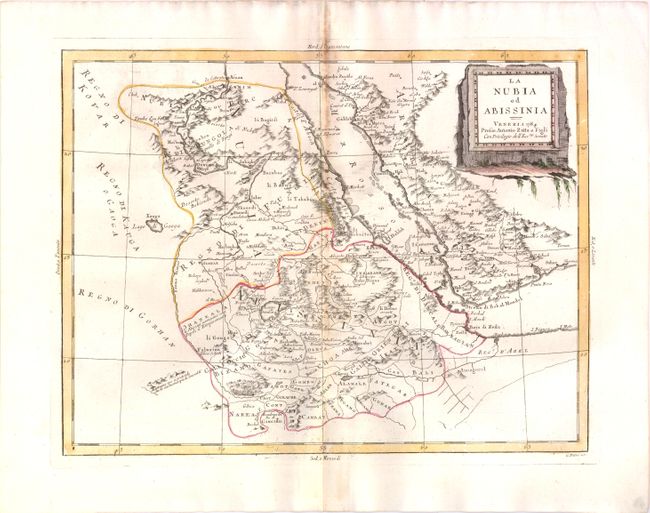
1) La Nubia ed Abissinia, by Antonio Zatta, ca. 1784, (16 x 12"). Delicately engraved sheet also includes the southwestern part of the Arabian peninsula from Mecca to Aden. The title cartouche is a stone monolith. Condition: Toned on centerfold. (B)
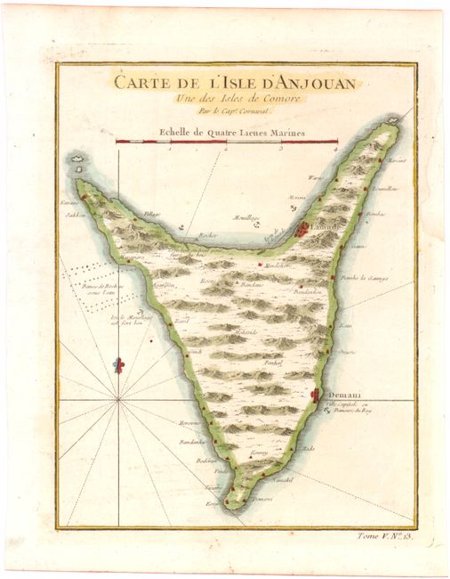
2) Carte de l'Isle d'Anjouan une des Isles de Comore par le Cape. Cornwal , by Jacques Nicolas Bellin, ca. 1757 (6.3 x 8.2"). This little map illustrates Anjouan Island (also known as Ndzuwani or Nzwani) one of the Comoros Islands in the Indian Ocean. Condition: There is some paper restoration in the right side margin, not affecting the map. (A)
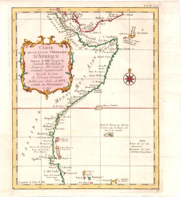
3) Carte de la Coste Orientale d'Afrique, depuis le XIIIe Degre de Latitude Meridionale jusqu'au XVIe Degre de Latitude Septentrionale…, by Jacques Nicolas Bellin, ca. 1757, (7.7 x 9.5"). Prepared for the Minister of the Navy, this map covers the eastern coastline from the Cape of Good Hope to Cape Gada. Condition: Issued folded, now flattened, with faint offsetting. (A)
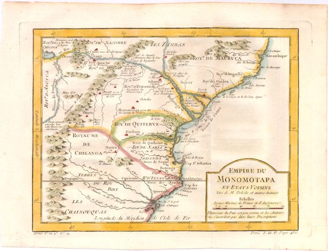
4) Empire du Monomotapa et Etats Voisins, by Jacques Nicolas Bellin, circa 1757 (10.4x 7.8"). This map features the Kingdom of Monomotapa roughly in today's Mozambique. Based on Delisle, it includes the Zambeze River and is bisected by the Tropic of Capricorn. It is filled with notations on gold mines and the supposed sources of rivers. Condition: Issued folding, on watermarked paper, with faint offsetting. (A)
References:
Condition:
See descriptions.