Catalog Archive
Auction 136, Lot 691

"Carte Generale de l'Empire Chinois et du Japan", Brue, Adrien Hubert

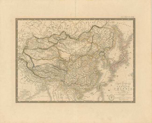
Subject: China, Korea and Japan

Period: 1836 (dated)

Publication: Atlas Universel

Color: Hand Color

Size:
20.3 x 14.3 inches
51.6 x 36.3 cm
Download High Resolution Image
(or just click on image to launch the Zoom viewer)

Beautifully engraved and highly detailed map that shows the size and breadth of China to include Taiwan (Formosa) and extends to include Korea and all of Japan. Filled with watershed and topographical detail, the map also locates the great wall and scores of towns. Names the Straits of Korea, but calls the sea between the two countries the Sea of Japan. Brue's blind stamped imprint with fancy lettering and flourishes embellishing the title. A decorative keyboard-style border surrounds the map.

References:

Condition: A

Crisp impression and fine outline color on a full sheet with wide, untrimmed margins. Faint offsetting from one color, still very good.

Estimate: $180 - $240

Sold for: $130

Closed on 6/1/2011

Archived