Catalog Archive
Auction 136, Lot 681

"Carte de Tartarie Dressee sur les Relations de Plusieurs Voyageurs de Differentes Nations…", Delisle, Guillaume

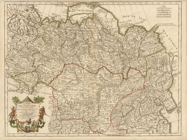
Subject: Asia - Northern

Period: 1706 (dated)

Publication:

Color: Hand Color

Size:
25 x 19 inches
63.5 x 48.3 cm
Download High Resolution Image
(or just click on image to launch the Zoom viewer)

First edition of Delisle's expansive map that includes Russia, Northern China and Tibet, from Novaya Zemla in the north to Afghanistan. The Pacific coast shows a portion of the Terre d'Eso, with the small Isle de Amour shown above. The map is fully engraved with forests and mountains and, for the period, has quite good detail of cities and towns. The Great Wall is graphically depicted, as are the extensive trade routes. A decorative cartouche surrounds the title in the lower left. This edition carries Delisle's imprint "A Paris Chez l'Auteur sur la Quai de l'Horloge a l'Aigle dOr avec Privilege 1706."

References:

Condition: B+

Slight toning on centerfold which has been reinforced with tissue on verso.

Estimate: $350 - $450

Sold for: $250

Closed on 6/1/2011

Archived