Catalog Archive
Auction 136, Lot 659

"Arabia", Blackie, W. G. & Son
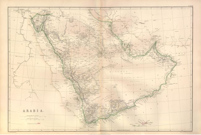
Subject: Arabia

Period: 1860 (circa)

Publication:

Color: Hand Color

Size:
19.6 x 13.3 inches
49.8 x 33.8 cm
Download High Resolution Image
(or just click on image to launch the Zoom viewer)

This map of the Arabian Peninsula extends from Jerusalem in the northwest to Adan (formerly Aden) in the south, and Masqat (formerly Muscat) in the east. Egypt and Nubia are identified to the west, and Persia (now Iran) to the east. Other interesting features noted are the city of Mecca and the island of Socotra. The map was drawn and engraved by Edward Weller.

References:

Condition: B+

Original outline color, with light toning and small split along centerfold that does not enter map image.

Estimate: $75 - $110

Sold for: $55

Closed on 6/1/2011

Archived