Catalog Archive
Auction 136, Lot 652

"Carte de la Palestine sous la Domination Romaine…", Brue, Adrien Hubert
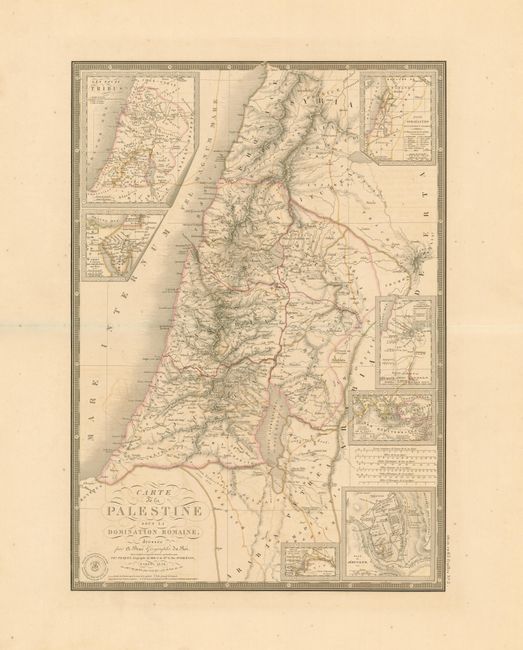
Subject: Holy Land

Period: 1838 (dated)

Publication: Atlas Universel

Color: Hand Color

Size:
14.3 x 20.3 inches
36.3 x 51.6 cm
Download High Resolution Image
(or just click on image to launch the Zoom viewer)

Beautifully engraved and highly detailed map of the Holy Land as it was under the domination of the Romans. The map extends into part of Syria and is filled with ancient place names. Seven inset maps including a fine plan of Jerusalem. Surrounded with a decorative keyboard-style border, fancy lettering and flourishes embellish the title. With a fine, clear example of Brue's blind stamped imprint. Blank verso.

References:

Condition: B+

Fine, crisp impression and delicate original color on a full sheet with very wide, untrimmed margins. A little offsetting else fine.

Estimate: $180 - $220

Sold for: $130

Closed on 6/1/2011

Archived