Catalog Archive
Auction 136, Lot 595
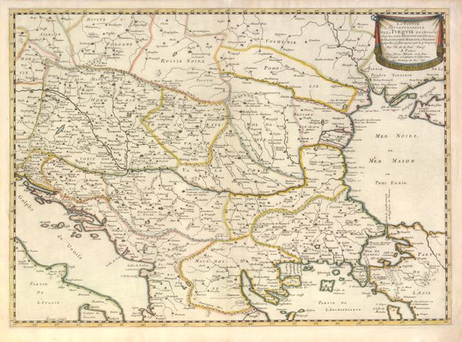
"La Partie Septentrionale de la Turquie en l'Europe Avec les trois Principautes Electiues de Transylvanie, Moldavie et Valachie…", La Rue, Philippe de
Subject: Balkans
Period: 1651 (dated)
Publication:
Color: Hand Color
Size:
20.8 x 14.8 inches
52.8 x 37.6 cm
Download High Resolution Image
(or just click on image to launch the Zoom viewer)
(or just click on image to launch the Zoom viewer)