Catalog Archive
Auction 136, Lot 554

"A Correct Map of the South East Part of Germany…", Bowen, Emanuel

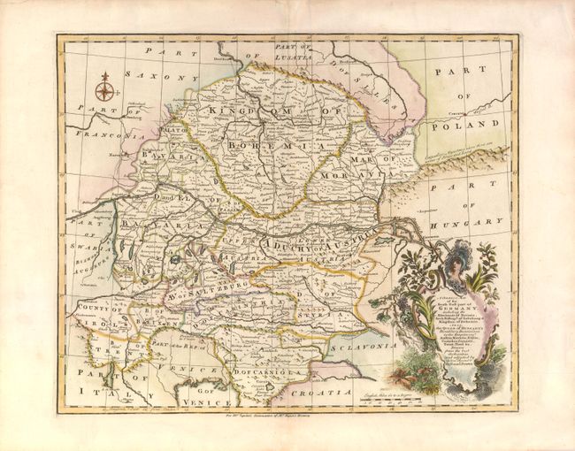
Subject: Central Europe, Germany

Period: 1747 (circa)

Publication: Tyndal's Continuation of Rapin's History

Color: Hand Color

Size:
16.5 x 13.5 inches
41.9 x 34.3 cm
Download High Resolution Image
(or just click on image to launch the Zoom viewer)

This detailed map is from a set of four maps describing the German Empire. It depicts the Electorate of Bavaria, Archbishopric of Salzburg, Kingdom of Bohemia and the Queen of Hungary's hereditary Dominions in the Empire (Austria, Moravia, Styria, Carinthia, Carniola, trent and Tirol). The map includes good detail of the roads and is embellished with an attractive title cartouche.

References:

Condition: A

Estimate: $180 - $220

Unsold

Closed on 6/1/2011

Archived