Subject: Central Europe
Period: 1860-74 (circa)
Publication:
Color: Printed Color
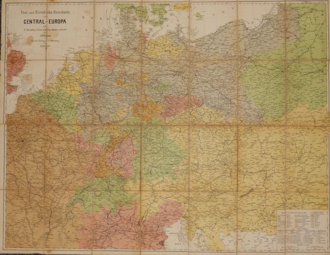
These are two very detailed folding pocket maps which cover Central Europe from Eastern Europe to France and from the North Sea to the Alps. They focus on the growing railway system but also give good detail to the existing road system. The first map Post-und Eisenbahn-Reisekarte von Central Europa (28" x 40') is by J. Franz is dated 1874. It is segmented and backed with original linen. The highly detailed map identifies over 25 countries. It folds into cloth covers embossed with title Franz, Post-Karte in gilt. Yellow double-page publisher's list of maps on front pastedown.
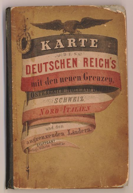
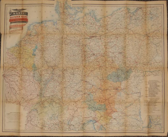
The second map is Karte des Deutschen Reiches mit den neuen Grenzen, Osterreich, Holland, Belgien, Schweiz, Nord-Italien und den angrenxenden Landern, circa 1870 33.5" x 27", Wilhelm Nitzschke, Stuttgart. It uses an extensive legend and color to identify the numerous political areas. Featuring a large title cartouche with an eagle above, the map is printed on heavy paper and folds into stiff paper covers with the map's title cartouche on front.
References:
Condition: B+
The first has some damp stains and minor wear, else is very good. The second map has some light toning and archival tape at the folds on the verso, else is very good.