Catalog Archive
Auction 136, Lot 471

"A Correct Chart of St. George's Channel and the Irish Sea…", Seale, Richard William

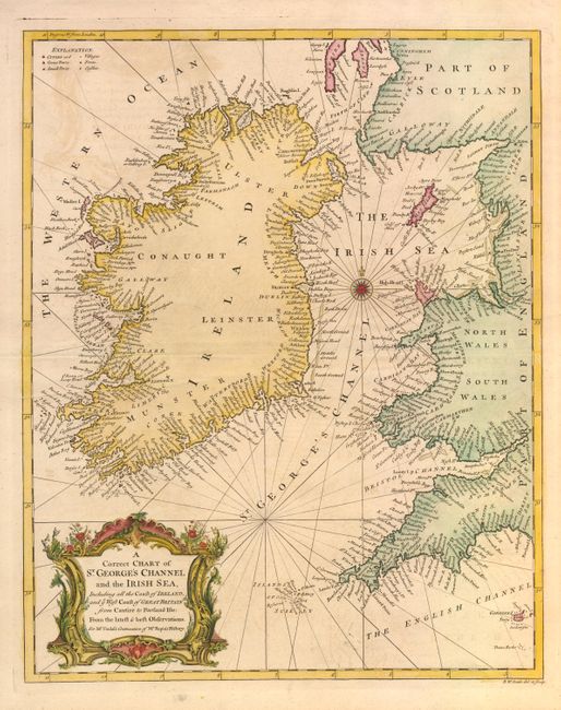
Subject: Britain, Irish Sea

Period: 1745 (published)

Publication: Tindal's Continuation of Mr. Rapin's History of England

Color: Hand Color

Size:
14.7 x 18.4 inches
37.3 x 46.7 cm
Download High Resolution Image
(or just click on image to launch the Zoom viewer)

This great sea chart details the entire coastline of Ireland and the western coastal areas of Scotland, Wales and England between the Firth of Clyd to Lands End. Roughly centered on a compass rose and the chart notes Great and small ports as well as villages, forts and castles along the coastline. Beautifully engraved with a striking and large title cartouche.

References:

Condition: B+

Nice impression with mild offsetting. Tiny hole above the northern coast of Ireland, else very good.

Estimate: $140 - $180

Sold for: $140

Closed on 6/1/2011

Archived