Subject: New Hampshire
Period: 1799-1801 (circa)
Publication:
Color: Hand Color
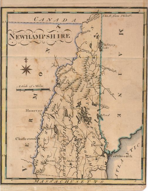
A. New Hampshire, by Joseph Scott, from The New and Universal Gazetteer, circa 1799, (6.2 x 7.4"). This is the second state of this map. Five counties are shown by dotted lines, and there is good detail of towns, roads, watershed and topography. A note in the northernmost part of the state identifies 42,000 acres to Dartmouth College. This edition is nearly identical to the first state, with only minor changes made in order to strengthen the impression. A nice, early example. B condition with scattered foxing, offsetting and trimmed side margins.
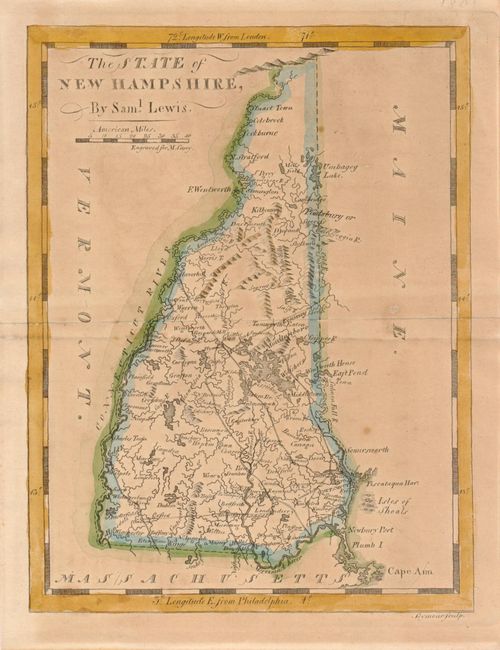
B. The State of New Hampshire by Samuel Lewis, from Carey's American Pocket Atlas, 1801, (6.0 x 7.5"). The state now has a good transportation network of roads and trails and there is considerably more development in the northern region. B+ condition with even toning.
References: Wheat & Brun #186 & #187; Cobb #92.
Condition: