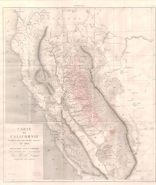
Subject: California
Period: 1862 (dated)
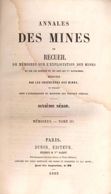
Publication: Annales des Mines ou Recueil…
Color: Black & White
Size:
17.5 x 20 inches
44.5 x 50.8 cm
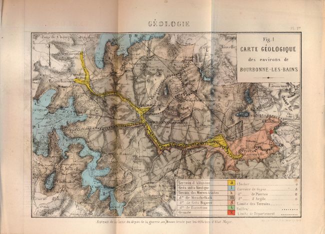
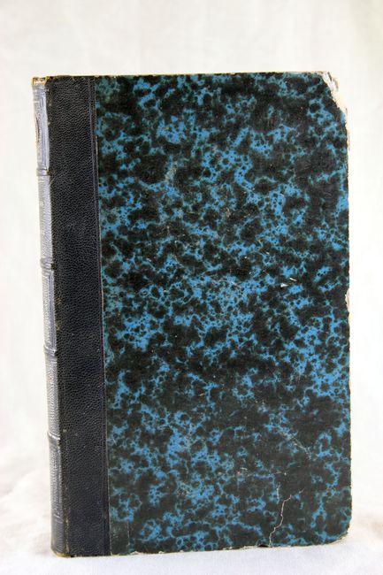
Rarely-seen, first edition of this map by French mining engineer M. P. Laur of the Gold Regions in California. The map shows the state from Crescent City to St Luis Obispo. The Gold Regions are printed in red hachure. The cartography seems to come from a couple different sources, but is based primarily on Fremont's map of the region. Map bound and folded into the complete report, Annales Des Mines ou Recueil, dated 1863, which also includes an early photograph of a prospector in California, several folding plates with two showing locomotives and several other sketches. Also with geologic sketches including the colorful and detailed "Carte Geologique des environs de Bourbonne - les - Bains." Hardbound, quarter calf and blue marbled paper boards with raised banks and tooling. Octavo, 112 pp, 12 folding plates and maps.
References:
Condition: B+
Folding map has crisp impression and full margins including 6" margin at biding side. Binding trim tear well away from map image and a small diffuse spot east of Ft. Miller, other wise near fine. Other folding plates mostly very good. First third of text pages with light water stain at upper quadrant.