Catalog Archive
Auction 136, Lot 179

"United States", Thomas, Cowperthwait & Co.

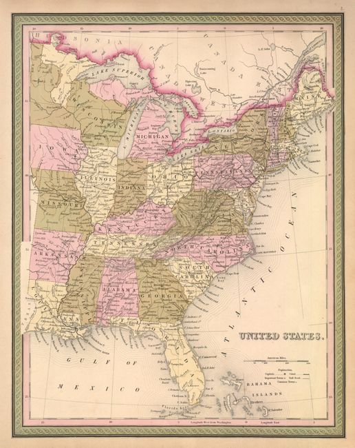
Subject: Eastern United States

Period: 1854 (circa)

Publication: New Universal Atlas

Color: Hand Color

Size:
12.6 x 16.1 inches
32 x 40.9 cm
Download High Resolution Image
(or just click on image to launch the Zoom viewer)

Nicely detailed example of Samuel Augustus Mitchell's map of the eastern United States. The map extends westward to include Arkansas, Missouri and Iowa. Minnesota Territory is not named and will not be established for four years. Good detail throughout showing railroads, wagon roads, canals, watershed and topography. Surrounded by decorative border in green with the extra small line in the inner border, dating it to circa 1854. There is no imprint or copyright.

References:

Condition: A+

Dark impression and fine original color.

Estimate: $150 - $250

Sold for: $50

Closed on 6/1/2011

Archived