Catalog Archive
Auction 136, Lot 178

"Gall & Inglis' Map of the United States", Gall & Inglis

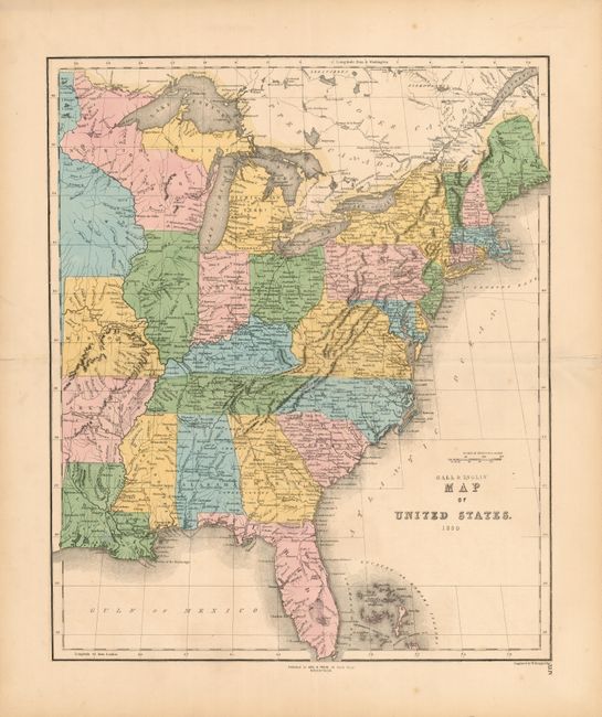
Subject: Eastern United States

Period: 1850 (dated)

Publication:

Color: Hand Color

Size:
17.2 x 20.7 inches
43.7 x 52.6 cm
Download High Resolution Image
(or just click on image to launch the Zoom viewer)

This uncommon Scottish produced map shows only the eastern states. The map extends beyond the Mississippi River to include part of Iowa, Missouri, Arkansas and Louisiana. Each state is individually colored with detail of watershed, towns and settlements, railroads, and some topographical information. The railroads are particularly well shown. Engraved by W. Murphy. Blank verso and page XLIV at lower right.

References:

Condition: A

Very light foxing primarily in the margin. Slight separation in fold on the margins has been repaired with tissue on verso.

Estimate: $140 - $170

Unsold

Closed on 6/1/2011

Archived