Subject: Canada
Period: 1832 (published)
Publication: McGregor's British America
Color: Black & White
Collection of maps all precisely engraved by Lizars. Each is approximately 7" x 4.5" except as noted.
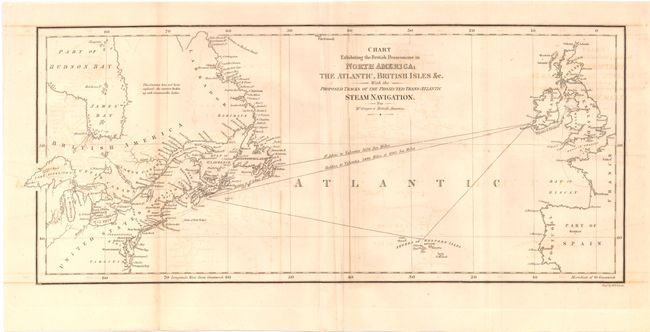
1. Chart exhibiting the British Possession in North America, The Atlantic, British Isles & Co…Trans-Atlantic Steam Navigation, 15" x 6.5". This folding map is centered on the North Atlantic and the Azores and shows the routes between England and Ireland to Newfoundland and Nova Scotia. A slight amount of offsetting and a lazy fold with crease. (B+)
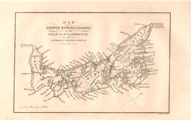
2. Map of Prince Edward Island in the Gulf of St. Lawrence…. Very detailed considering its size. (A)
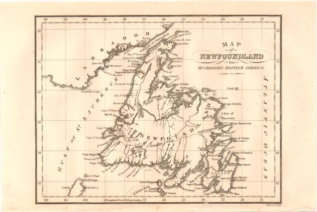
3. Map of New Foundland…. McCormick's track is traced from Clode Sound to Cape Anguille. (A)
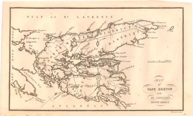
4. Map of Cape Breton…. Good detail of settlements and the early road network. (A)
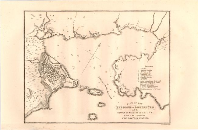
5. Plan of the Harbour of Louisburg…. Shows the fortified town with 15 important buildings named and keyed to the plan. (A)
References:
Condition:
See individual descriptions.