Subject: Atlases
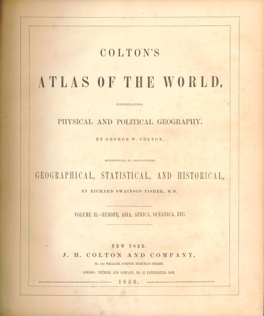
Period: 1856 (published)
Publication:
Color: Hand Color
Size:
17 x 19 inches
43.2 x 48.3 cm
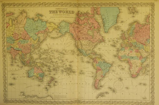
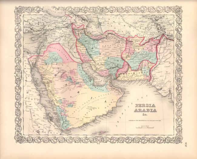
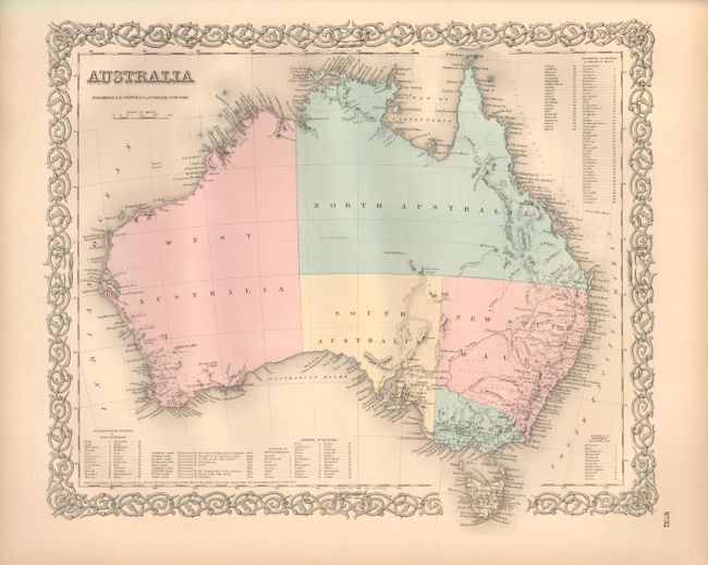
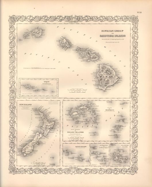
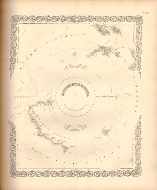
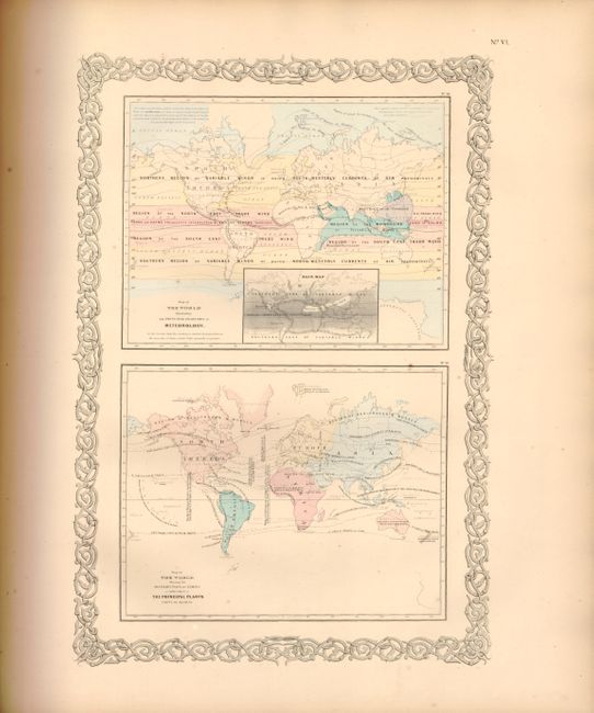
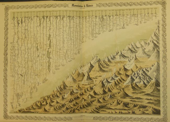
Volume II only with maps covering Latin America, Europe, the Middle East, Africa, Asia and Oceania. It begins with the evocative frontispiece featuring four classical attired muses, representing Navigation, Astronomy, Geography, and Learning, gathered around a large floor globe. There are handsome thematic and comparative charts of mountains, rivers, lakes, islands, ocean currents meteorology, productive industry, etc. It also includes the great city plans of London and Paris. The double-page world map is presented on Mercator's projection and shows the tracks of several 18th and 19th century explorers. Most maps are colored except the polar maps, city plans, and map of the Hawaiian Islands. Complete with frontispiece, title page, list of maps, text and tables and 35 maps, each with Colton's decorative strapwork border. Original quarter calf and embossed cloth covered boards, covers stamped and lettered in gilt.
References:
Condition: A
Maps and text fine with an occasional faint spot in the margins. Binding with minimal wear, bumped corners, and a tear in cloth on front cover.