Subject: Australia
Period: 1905 (circa)
Publication:
Color: Printed Color
Size:
34.5 x 28 inches
87.6 x 71.1 cm
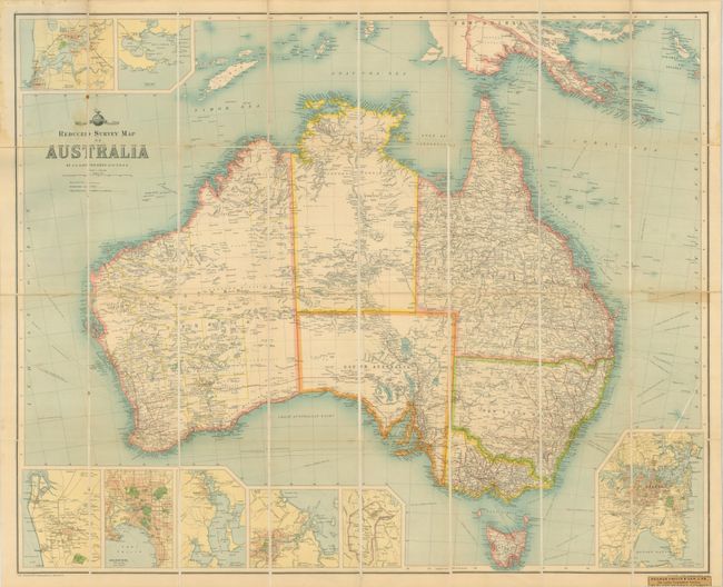
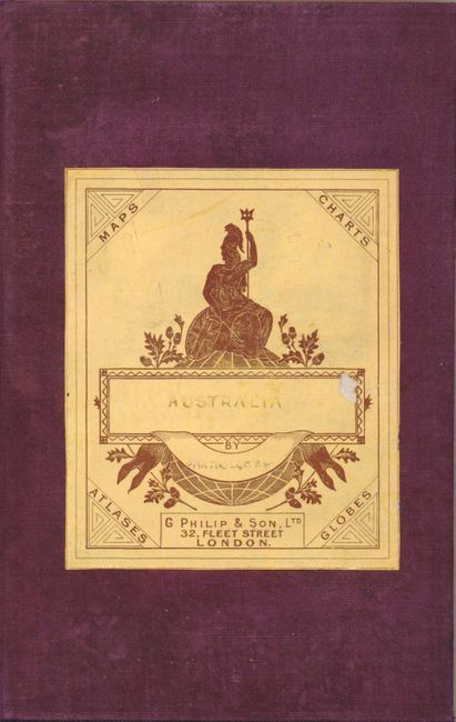
This large folding and segmented map was produced by the Edinburgh Geographical Institute and is from Bartholomew's World Survey Map Series. The map contains remarkable detail of the continent and Tasmania. Further information is provided in eight inset maps: Sydney; Canberra and the Commonwealth Territory; Brisbane, Hobart; Melbourne; Adelaide including Port Adelaide; Perth and Freemantle; and King George Sound with Albany. The goldfields in Western Australia are well developed and Coolgardie, founded in 1892, is prominent. In the north the Australian Protectorate in New Guinea is divided into the Western, Central and Eastern Districts. There is extensive railroad development throughout much of the country with several lines extending into the Outback; to Stanbroke in Queensland, and to Oodnadatta in South Australia. The map is segmented into 32 sections and mounted on linen. It folds into purple cloth boards with lovely marbled paper inside front cover and on back of one linen section. With the original engraved paper cover label of "G. Philip & Son, London" on front cover.
References:
Condition: A
A bright and near flawless example save for some very faint toning in a couple places. Linen sound with no splits or discoloration. Boards are very good.