Subject: China, Korea & Japan
Period: 1787-1883
Publication:
Color: Hand Color
This lot contains a diverse group of maps covering China, Korea and Japan.
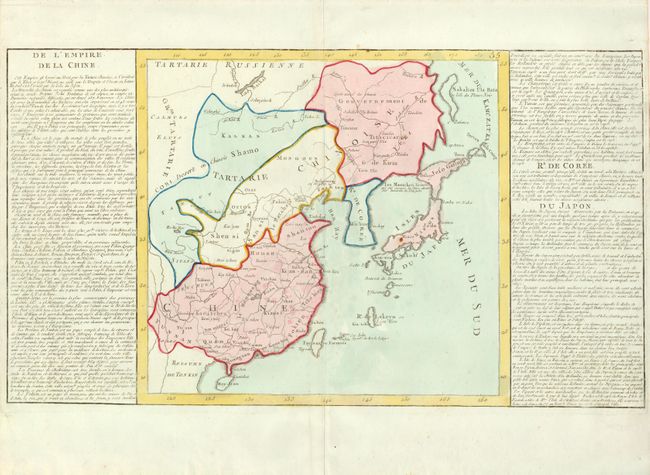
1) De l'Empire de la Chine, from Jean Baptiste Louis Clouet's Geographie moderne, circa 1787 (13 x 12.3"). With side panels of French text. (A)
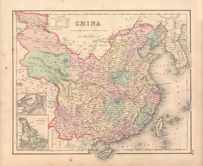
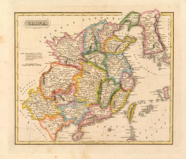
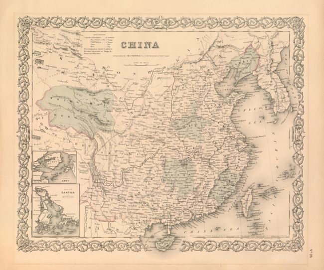
2) China, by J.H. Colton, 1855, (14.8 x 11.8"). Includes insets of Amoy and Canton. Block style border. Slightly toned with a couple minor spots. (B+)
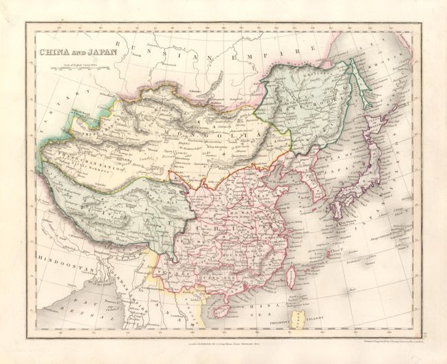
3) China and Japan, by J. Dower, published by Orr & Co., circa 1845 (10.2 x 8.2"). (A)
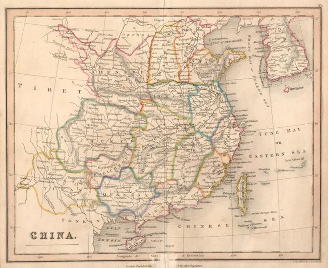
4) China, by J. Neele , circa 1820 (9.3 x 7.5"). Linen backed. Abrasion in bottom border. (B)
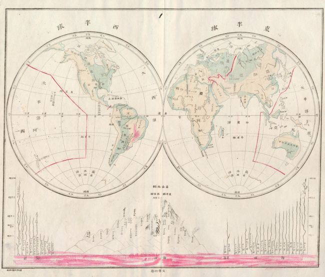
5) [Untitled World] from a Japanese atlas, circa 1880, (9.8 x 8"). Some red color at bottom and in South America appears to have been added later. There is a small hole in a blank area inside top neatline at center. (B)
6) China, by S. Harrison, circa 1816, (10.2 x 8.8"). Lightly toned with minor tape stains in the top margin, well away from the map. (B+)
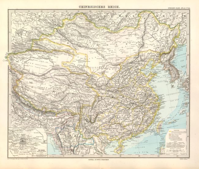
7) Chinesisches Reich, Justus Perthes, from Stieler's Hand Atlas, 1883, (16.5 x 13"). Includes an inset of Pe-King. (A+)
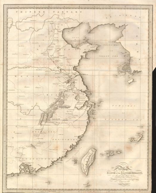
8) Map of the Route of the British Embassy, from the Mouth of the Peiho River, to Pekin and from thence to Canton, in the Year 1816, from Henry Ellis' Journal of the Proceedings of the Late Embassy to China, 1817, uncolored, (16 x 20.3"). Trimmed to neatline on two sides for binding, folding as issued with some light foxing. (B)
9) China, by J.H. Colton, 1855, (15.5 x 13"). Includes insets of Amoy and Canton. Strapwork border. Slightly faded with some toning in margins. (B+)
References:
Condition:
See descriptions.