Catalog Archive
Auction 135, Lot 544
"Le Royaume de Hongrie Divise en Haute et Basse Hongrie Transilvanie Esclavonie et Croatie", Janvier/Lattre
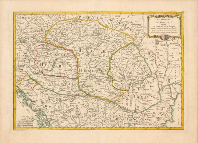
Subject: Southeastern Europe - Hungary
Period: 1761 (circa)
Publication: Atlas Moderne…
Color: Hand Color
Size:
17.4 x 12 inches
44.2 x 30.5 cm
Download High Resolution Image
(or just click on image to launch the Zoom viewer)
(or just click on image to launch the Zoom viewer)