Catalog Archive
Auction 135, Lot 542
"Carte du Detroit de Waeigats ou de Nassau Suivant les Navigateurs Hollandois…", Bellin, Jacques Nicolas
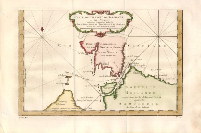
Subject: Russia
Period: 1758 (dated)
Publication: L'Histoire Generale des Voyages
Color: Hand Color
Size:
11.8 x 7.7 inches
30 x 19.6 cm
Download High Resolution Image
(or just click on image to launch the Zoom viewer)
(or just click on image to launch the Zoom viewer)