Catalog Archive
Auction 135, Lot 521

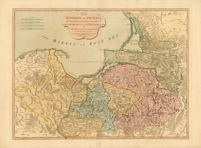
"The Kingdom of Prussia, and Its Newly Incorporated Province of Polish Prussia now named Western Prussia; with the Territory of Dantzick… Polish Prussia now named Western Prussia; with the territory of Dantzick", Roberts, John

Subject: Poland

Period: 1794 (dated)

Publication: A New Universal Atlas

Color: Hand Color

Size:
24.5 x 18.3 inches
62.2 x 46.5 cm
Download High Resolution Image
(or just click on image to launch the Zoom viewer)

This scarce, handsome map covers the region of northeastern Poland that includes Kalingrad (Konigsberg), now separated geographically from Russia and sandwiched between Lithuania and Poland. Due to the gradual weakening of the Polish-Lithuanian Commonwealth during the 18th century and fear of a possible expansion of the Russian Empire, the Partitions of Poland between Russia, Prussia, and Austria were an attempt to maintain the balance of power in Europe. This map shows the results of the second and third partitions that included the Hanseatic cities of Danzig and Thorn (Torun) and the unification of the Province of West Prussia (Duchy of Prussia) with the Province of Pomerania. Published by Laurie and Whittle.

References:

Condition: B+

Nice impression and original color with a hint of toning along the centerfold. There is a repaired small hole in an unengraved area of the centerfold.

Estimate: $300 - $375

Sold for: $325

Closed on 2/16/2011

Archived